Spellow Lane Church, Liverpool
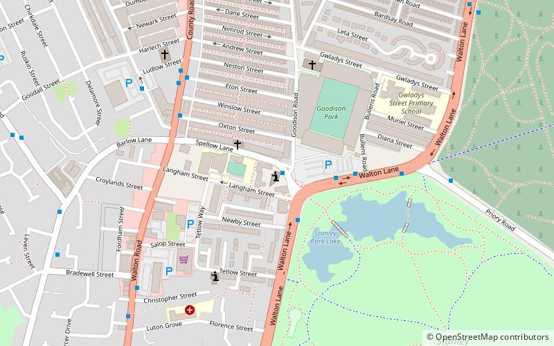
Map

Map

Facts and practical information
Spellow Lane Church is an Evangelical church in Walton, Liverpool, Merseyside, England. ()
Completed: 1908 (118 years ago)Coordinates: 53°26'15"N, 2°58'5"W
Day trips
Spellow Lane Church – popular in the area (distance from the attraction)
Nearby attractions include: Anfield, Goodison Park, Strand Shopping Centre, Stanley Park.
Frequently Asked Questions (FAQ)
When is Spellow Lane Church open?
Spellow Lane Church is open:
- Monday closed
- Tuesday closed
- Wednesday closed
- Thursday 7 pm - 9 pm
- Friday closed
- Saturday closed
- Sunday 10:30 am - 12 pm & 6:30 pm - 9 pm
Which popular attractions are close to Spellow Lane Church?
Nearby attractions include Goodison Park, Liverpool (3 min walk), St Luke's Church, Liverpool (4 min walk), Stanley Park, Liverpool (9 min walk), Anfield Cemetery, Liverpool (12 min walk).
How to get to Spellow Lane Church by public transport?
The nearest stations to Spellow Lane Church:
Train
Bus
Train
- Kirkdale (15 min walk)
- Bank Hall (21 min walk)
Bus
- Rocky Lane/Belmont Rd • Lines: 18 (37 min walk)
- Bootle Bus Station (38 min walk)


