Lambeth Walk, London
Map
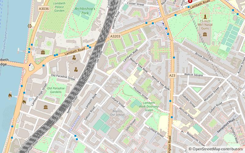
Map

Facts and practical information
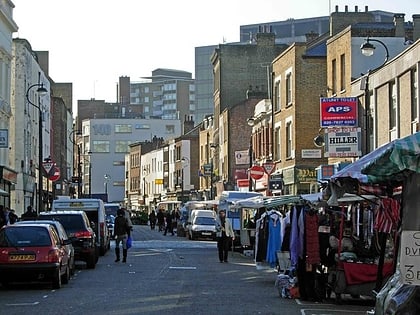
Lambeth Walk is a street in Lambeth, London, England, off Lambeth Road. It was at the heart of a working-class residential area and there was a street market. ()
Coordinates: 51°29'38"N, 0°6'52"W
Address
Lambeth (Bishop's)London
ContactAdd
Social media
Add
Day trips
Lambeth Walk – popular in the area (distance from the attraction)
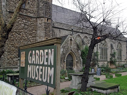
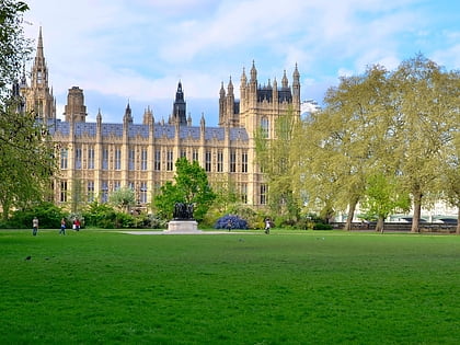
Nearby attractions include: Imperial War Museum, Garden Museum, Victoria Tower Gardens, National Covid Memorial Wall.
Frequently Asked Questions (FAQ)
Which popular attractions are close to Lambeth Walk?
Nearby attractions include Newport Street Gallery, London (4 min walk), Royal Pharmaceutical Society, London (6 min walk), Walcot Square, London (6 min walk), Garden Museum, London (7 min walk).
How to get to Lambeth Walk by public transport?
The nearest stations to Lambeth Walk:
Metro
Ferry
Bus
Train
Metro
- Lambeth North • Lines: Bakerloo (9 min walk)
- Kennington • Lines: Northern (14 min walk)
Ferry
- Millbank Millennium Pier • Lines: Rb2 (12 min walk)
- Westminster Pier • Lines: Blue Tour, Green Tour, Rb1, Rb1X, Rb2, Red Tour (17 min walk)
Bus
- Durham Street / Harleyford Road • Lines: 185, 36, 436, N136 (16 min walk)
- Harleyford Road / Durham Street • Lines: 185, 36, 436, N136 (17 min walk)
Train
- London Waterloo (16 min walk)
- Vauxhall (17 min walk)

 Tube
Tube
