Worplesdon

Gallery (4)
Map

Map
Gallery
Facts and practical information
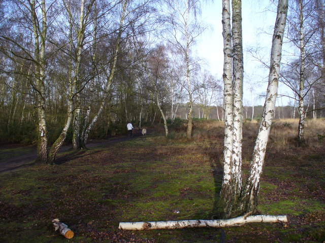
Worplesdon is a village 3.1 miles NNW of Guildford in Surrey, England and a large dispersed civil parish that includes the settlements of: Worplesdon itself, Fairlands, Jacobs Well, Rydeshill and Wood Street Village, all various-sized smaller settlements, well-connected by footpaths and local roads. Its area includes Whitmoor Common, which can be a collective term for all of its commons. ()
Location
England
ContactAdd
Social media
Add
Day trips


