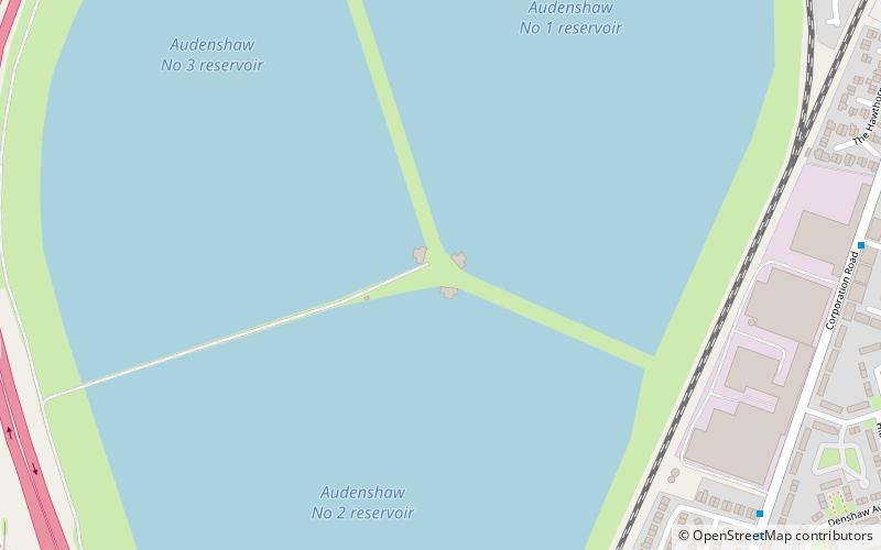
Audenshaw Reservoirs, Ashton-under-Lyne
Map

Map

Facts and practical information
The Audenshaw Reservoirs were constructed between 1877 and 1882 by Manchester Corporation. They are located between Audenshaw and Denton, in Greater Manchester, England. Their construction was overseen by John Frederick Bateman. Part of the village of Audenshaw was demolished to make way for the three reservoirs. Also destroyed to allow their construction was a section of Nico Ditch. ()
Coordinates: 53°27'53"N, 2°7'50"W
Address
Tameside (Denton West)Ashton-under-Lyne
ContactAdd
Social media
Add
Day trips
Audenshaw Reservoirs – popular in the area (distance from the attraction)
Nearby attractions include: Crown Point, Fairfield Moravian Church, Gorton Reservoirs, St Lawrence's Church.
Frequently Asked Questions (FAQ)
Which popular attractions are close to Audenshaw Reservoirs?
Nearby attractions include Audenshaw, Ashton-under-Lyne (22 min walk), Ryecroft Hall, Ashton-under-Lyne (22 min walk), Denton, Manchester (24 min walk).
How to get to Audenshaw Reservoirs by public transport?
The nearest stations to Audenshaw Reservoirs:
Train
Bus
Tram
Train
- Denton (13 min walk)
- Fairfield (19 min walk)
Bus
- Ashton Road/Hartford Street • Lines: 347 (15 min walk)
- Denton Road/Stamford Road • Lines: 347 (17 min walk)
Tram
- Audenshaw • Lines: Asht, Eccl, Mcuk (24 min walk)
- Droylsden • Lines: Asht, Eccl, Mcuk (30 min walk)


