Guide Bridge, Tameside
Map

Map

Facts and practical information
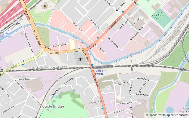
Guide Bridge is an area west of Ashton-under-Lyne, in Tameside, Greater Manchester, England. Historically part of Lancashire, Guide Bridge was built as a village around an eponymous bridge over the Ashton Canal. ()
Coordinates: 53°28'30"N, 2°6'50"W
Address
Tameside (St. Peter's)Tameside
ContactAdd
Social media
Add
Day trips
Guide Bridge – popular in the area (distance from the attraction)
Nearby attractions include: Ashton Arcades, Crown Point, Ashton Town Hall, St Peter's Church.
Frequently Asked Questions (FAQ)
Which popular attractions are close to Guide Bridge?
Nearby attractions include Audenshaw, Ashton-under-Lyne (4 min walk), Ryecroft Hall, Ashton-under-Lyne (18 min walk), St Peter's Church, Ashton-under-Lyne (18 min walk), Outer Pennine Ring, Ashton-under-Lyne (20 min walk).


