Bladon Castle, Burton upon Trent

Gallery (1)
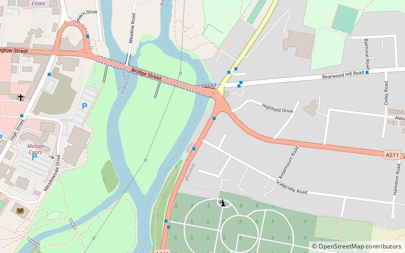
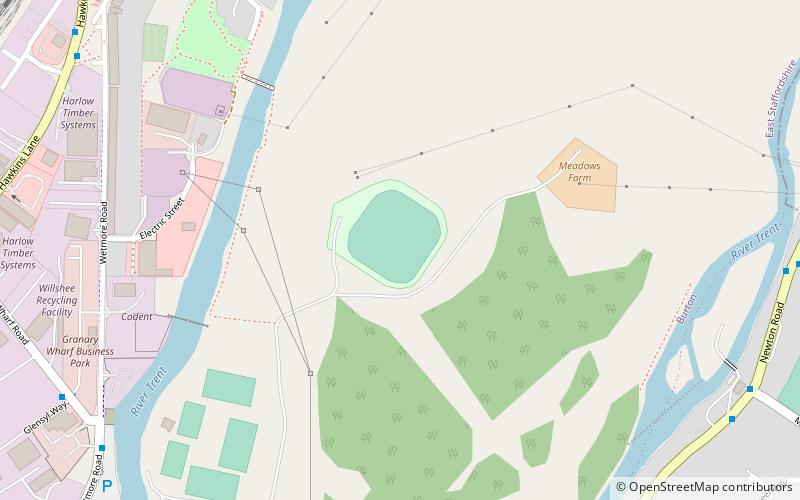
Map
Map
Facts and practical information
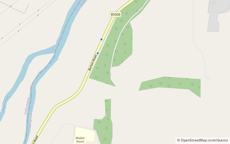
Bladon Castle is a folly, partly converted into a country house, located some 600 yards southwest of the village of Newton Solney in South Derbyshire, 1 mile northeast of Burton-on-Trent and close to the point at which the River Trent forms the boundary with Staffordshire. ()
Address
Burton upon Trent
ContactAdd
Social media
Add
Getting there by public transportation
Public transportation stops near this location
- Bus
 Bus
Bus
- Calculate routeCliffe Lodge 3 min walk
- Calculate routeBladon Castle Lodge 7 min walk
- Calculate routeBladon House School 11 min walk
- Calculate routeWest Lodge 12 min walk
Day trips


Frequently Asked Questions (FAQ)
How to get to Bladon Castle by public transport?
The nearest stations to Bladon Castle:
Bus
Bus
- Cliffe Lodge • Lines: V3 (3 min walk)
- Bladon Castle Lodge • Lines: V3 (7 min walk)