Trent Rowing Club, Burton upon Trent
Map
Facts and practical information
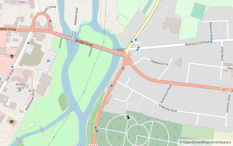
Trent Rowing Club is a rowing club on the River Trent, based at The Boathouse, Stapenhill Road, Burton upon Trent, Staffordshire. ()
Coordinates: 52°48'18"N, 1°37'11"W
Address
Burton upon Trent
ContactAdd
Social media
Add
Getting there by public transportation
Public transportation stops near this location
- Bus
- Train
 Bus
Bus
- Calculate routeScalpcliffe Road 1 min walk
- Calculate routeNewton Road 3 min walk
- Calculate routeNewton Mews 3 min walk
- Calculate routeBurton-on-Trent 25 min walk
Day trips


Frequently Asked Questions (FAQ)
Which popular attractions are close to Trent Rowing Club?
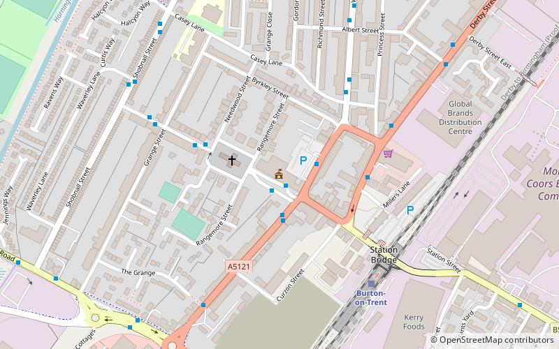
Nearby attractions include Stapenhill Gardens, Burton upon Trent (12 min walk), St Modwen's, Burton upon Trent (12 min walk), Burton Market Hall, Burton upon Trent (13 min walk), National Brewery Centre, Burton upon Trent (15 min walk).
How to get to Trent Rowing Club by public transport?
The nearest stations to Trent Rowing Club:
Bus
Train
Bus
- Scalpcliffe Road • Lines: 18 (1 min walk)
- Newton Road • Lines: 3, 8, 9 (3 min walk)
Train
- Burton-on-Trent (25 min walk)