M4 Thames Bridge, Maidenhead

Gallery (1)
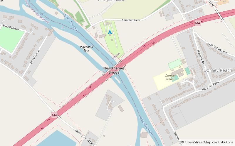
Map
Map
Facts and practical information
The M4 Thames Bridge Maidenhead is a motorway bridge between Dorney Reach, Buckinghamshire and Bray near Maidenhead, Berkshire in England built in the 1960s. ()
Coordinates: 51°30'24"N, 0°41'9"W
Address
Maidenhead
ContactAdd
Social media
Add
Getting there by public transportation
Public transportation stops near this location
- Bus
- Train
 Bus
Bus
- Calculate routeOld Marsh Lane 10 min walk
- Calculate routeHarcourt Road 12 min walk
- Calculate routeElm View Farm 15 min walk
- Calculate routeTaplow 30 min walk
Day trips


Frequently Asked Questions (FAQ)
Which popular attractions are close to M4 Thames Bridge?
Nearby attractions include Bray, Maidenhead (15 min walk), Bray Lake Watersports, Maidenhead (16 min walk), Bray Marina, Maidenhead (16 min walk), Bray Pit, Maidenhead (18 min walk).
How to get to M4 Thames Bridge by public transport?
The nearest stations to M4 Thames Bridge:
Bus
Train
Bus
- Old Marsh Lane • Lines: 63, 68 (10 min walk)
- Harcourt Road • Lines: 63, 68 (12 min walk)
Train
- Taplow (30 min walk)