Minninglow, Peak District

Gallery (2)
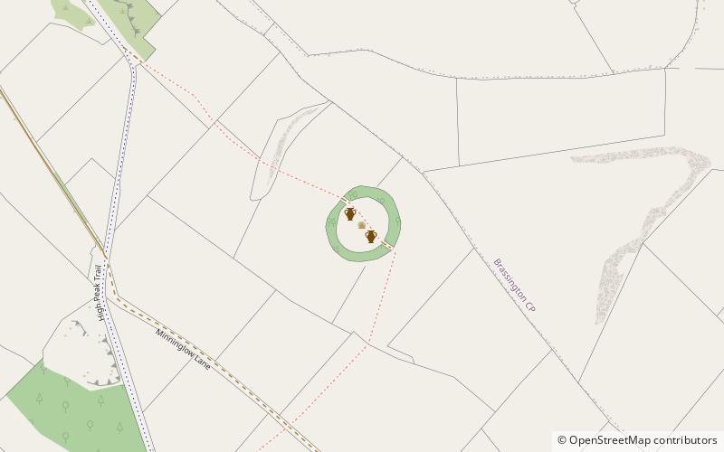
Map
Map
Gallery
Facts and practical information
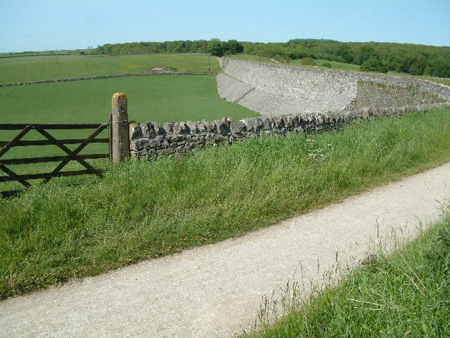
Minninglow is a hill in the Peak District National Park in Derbyshire, located within the White Peak area at grid reference SK209573. Within the clump of trees crowning the hill are a Neolithic chambered tomb and two Bronze Age bowl barrows. ()
Elevation: 1220 ftCoordinates: 53°6'45"N, 1°41'20"W
Address
Peak District
ContactAdd
Social media
Add
Day trips


