Long Dale, Peak District
Map

Gallery

Facts and practical information
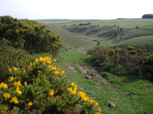
Long Dale is a carboniferous limestone valley near the village of Elton, Derbyshire, in the Peak District of England. The dale is cut into the plateau of Gratton Moor and Smerrill Moor and lies to the north of the hamlet of Pikehall, which is the venue of the annual Y Not Festival. Midway down the valley it turns sharply left and is known as Gratton Dale. Most of the valley is dry but Rowlow Brook flows down the lower part of Gratton Dale towards Dale End and onwards to become the River Bradford at Youlgreave. ()
Coordinates: 53°8'23"N, 1°43'8"W
Address
Peak District
ContactAdd
Social media
Add
Day trips
Long Dale – popular in the area (distance from the attraction)
Nearby attractions include: Tissington Trail, All Saints' Church, Arbor Low, Harthill Moor.


