Guards Club Island, Maidenhead

Gallery (2)
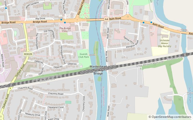
Map
Map
Gallery
Facts and practical information
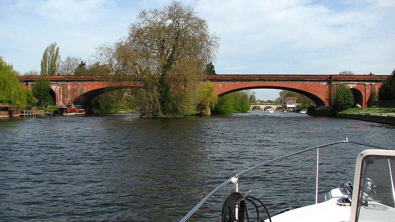
Guards Club Island, also known as Bucks Ait or bucks' eyot is an island in the River Thames connected by footbridge by to Maidenhead, Berkshire accommodating a pier adjoining the Sounding Arch part of the railway bridge which was built in 1838 to designs by Brunel. The thin small island is connected to Guards Club Park by a low cast-iron and wood footbridge which blocks the near channel to boat navigation apart from kayaks. The island gets its alternative name from eel bucks from which the footbridge was adapted in 1865 to allow access to its Guards Club Boathouse. ()
Coordinates: 51°31'18"N, 0°42'7"W
Address
Maidenhead
ContactAdd
Social media
Add
Getting there by public transportation
Public transportation stops near this location
- Bus
- Train
 Bus
Bus
- Calculate routeMaidenhead Bridge 6 min walk
- Calculate routeEllington Road 7 min walk
- Calculate routeWaldeck Road 11 min walk
- Calculate routeThe Dumb Bell 12 min walk
- Calculate routeTaplow 23 min walk
- Calculate routeMaidenhead 24 min walk
- Calculate routeFurze Platt 36 min walk
Day trips


Frequently Asked Questions (FAQ)
Which popular attractions are close to Guards Club Island?
Nearby attractions include Maidenhead Railway Bridge, Maidenhead (2 min walk), Maidenhead Bridge, Maidenhead (5 min walk), Maidenhead Synagogue, Maidenhead (9 min walk), Maidenhead Waterways, Maidenhead (14 min walk).
How to get to Guards Club Island by public transport?
The nearest stations to Guards Club Island:
Bus
Train
Bus
- Maidenhead Bridge • Lines: 15, 4, 63, 68 (6 min walk)
- Ellington Road • Lines: 15, 4, 63, 68 (7 min walk)
Train
- Taplow (23 min walk)
- Maidenhead (24 min walk)