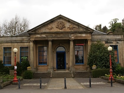
Torbrex Village, Stirling
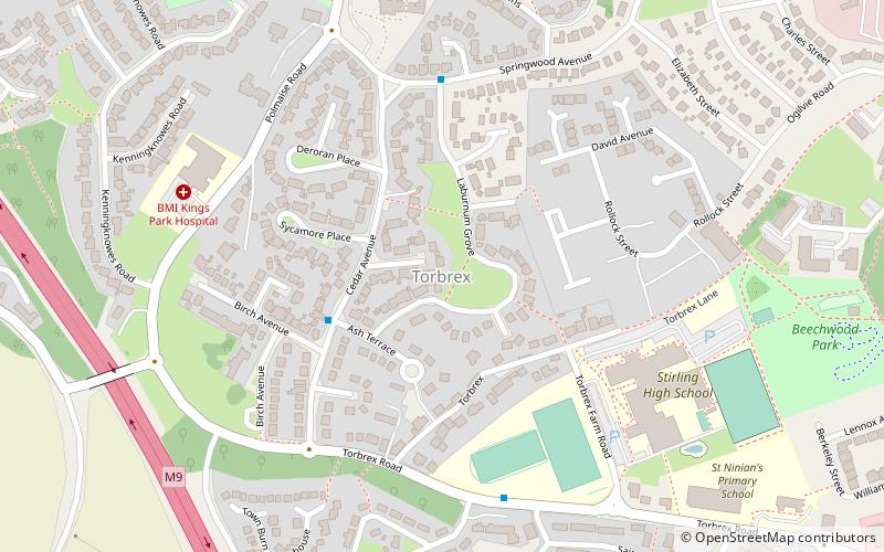
Map
Facts and practical information
Torbrex is a small former weaving village in the Stirling Council Area, Scotland. Torbrex lies a mile to the southwest of Stirling, between Cambusbarron and St Ninians. Consisting mainly of 19th-century cottages, it has among its older buildings Torbrex House and Williamsfield House, which was built in 1682 by William Wordie of Torbrex. ()
Coordinates: 56°6'23"N, 3°56'59"W
Address
Stirling
ContactAdd
Social media
Add
Day trips
Torbrex Village – popular in the area (distance from the attraction)
Nearby attractions include: Stirling Castle, Thistles Centre, Statue of Robert the Bruce, Argyll's Lodging.
Frequently Asked Questions (FAQ)
Which popular attractions are close to Torbrex Village?
Nearby attractions include St. Ninians, Stirling (15 min walk), Birkhill House, Stirling (15 min walk), Cambusbarron Community Centre, Stirling (16 min walk), Albert Halls, Stirling (23 min walk).
How to get to Torbrex Village by public transport?
The nearest stations to Torbrex Village:
Bus
Train
Bus
- Allan Park South Church • Lines: B12 (22 min walk)
- Stirling Bus Station • Lines: 24, B12, C11, X39 (26 min walk)
Train
- Stirling (29 min walk)


