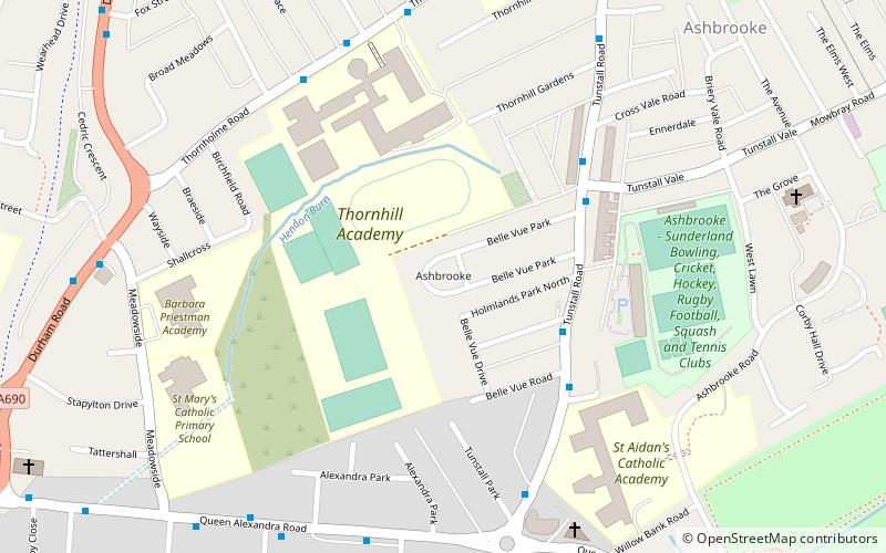
Ashbrooke, Sunderland
Map

Map

Facts and practical information
Ashbrooke is a residential area of Sunderland, North East England directly south and south-west of the city centre. ()
Coordinates: 54°53'43"N, 1°23'30"W
Address
Sunderland
ContactAdd
Social media
Add
Day trips
Ashbrooke – popular in the area (distance from the attraction)
Nearby attractions include: The Bridges, Mowbray Park, Sunderland Museum and Winter Gardens, Sunderland Civic Centre.
Frequently Asked Questions (FAQ)
Which popular attractions are close to Ashbrooke?
Nearby attractions include Stockton Road United Reformed Church, Sunderland (11 min walk), Art Arena, Sunderland (14 min walk), Sunderland Civic Centre, Sunderland (15 min walk), University of Sunderland, Sunderland (16 min walk).
How to get to Ashbrooke by public transport?
The nearest stations to Ashbrooke:
Light rail
Bus
Light rail
- University • Lines: Green (14 min walk)
- Park Lane • Lines: Green (15 min walk)
Bus
- Sunderland Interchange • Lines: 426, 436, 905 (15 min walk)
- Sunderland Interchange Stand R • Lines: Sns (15 min walk)


