Hackhurst and White Downs, Dorking
Map
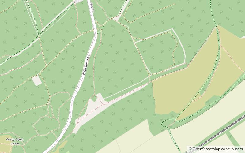
Map

Facts and practical information
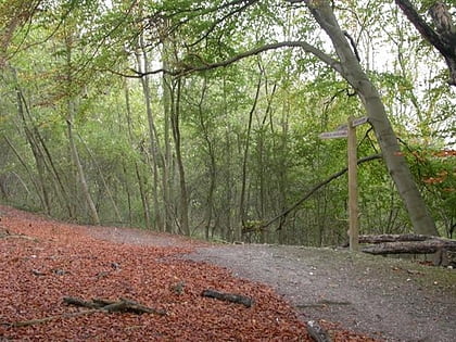
Hackhurst and White Downs is a 185.1-hectare biological Site of Special Scientific Interest west of Dorking in Surrey. White Downs is a Nature Conservation Review site, Grade 2, and part of it is in the 200-hectare White Downs nature reserve, which is owned by the Wotton Estate and managed by the Surrey Wildlife Trust. Hackhurst Downs is a 29.9-hectare Local Nature Reserve, which part of the 40-hectare Hackhurst Downs nature reserve, which is owned by Surrey County Council and also managed by the SWT. ()
Elevation: 692 ft a.s.l.Coordinates: 51°13'48"N, 0°24'7"W
Address
Dorking
ContactAdd
Social media
Add
Day trips
Hackhurst and White Downs – popular in the area (distance from the attraction)
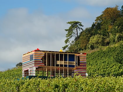
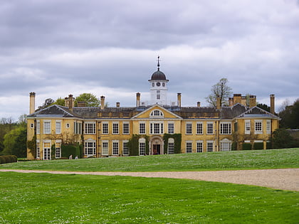
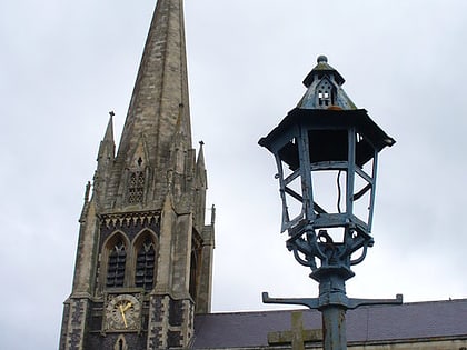
Nearby attractions include: Denbies Wine Estate, Polesden Lacey, Piney Copse, Old St Peter and St Paul's Church.
Frequently Asked Questions (FAQ)
How to get to Hackhurst and White Downs by public transport?
The nearest stations to Hackhurst and White Downs:
Bus
Bus
- Manor Farm • Lines: 22, 32 (27 min walk)
- Wotton Hatch • Lines: 22, 32 (27 min walk)
