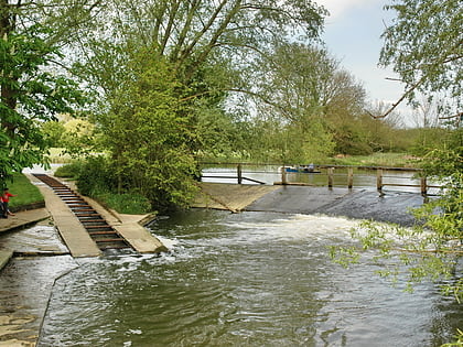
New Marston Meadows, Oxford
Map
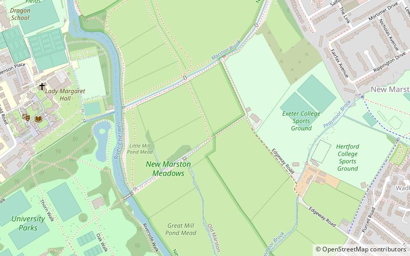
Map

Facts and practical information
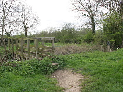
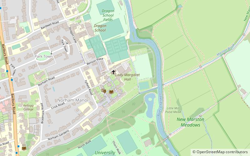
New Marston Meadows is a 44.7-hectare biological Site of Special Scientific Interest in Oxford in Oxfordshire. ()
Elevation: 184 ft a.s.l.Coordinates: 51°45'53"N, 1°14'50"W
Address
MarstonOxford
ContactAdd
Social media
Add
Day trips
New Marston Meadows – popular in the area (distance from the attraction)
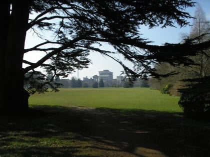
Nearby attractions include: North Parade, Oxford University Museum of Natural History, University Parks, Pitt Rivers Museum.
Frequently Asked Questions (FAQ)
Which popular attractions are close to New Marston Meadows?
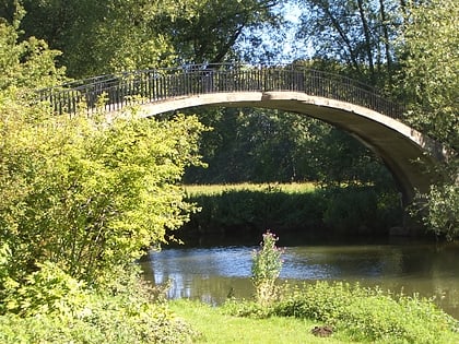
Nearby attractions include Rainbow Bridge, Oxford (5 min walk), Lady Margaret Hall, Oxford (7 min walk), University Parks, Oxford (9 min walk), Fyfield Road, Oxford (10 min walk).
How to get to New Marston Meadows by public transport?
The nearest stations to New Marston Meadows:
Bus
Train
Bus
- Jack Straw's Lane • Lines: X3 (14 min walk)
- Crotch Crescent • Lines: X3 (15 min walk)
Train
- Oxford (32 min walk)
