Social Science Library, Oxford
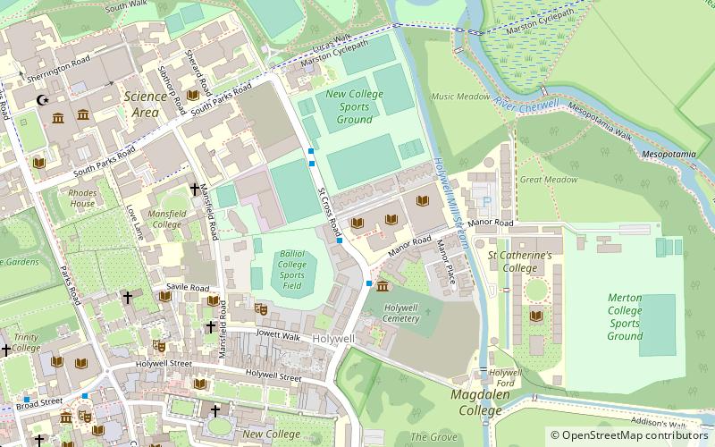
Map
Gallery
Facts and practical information
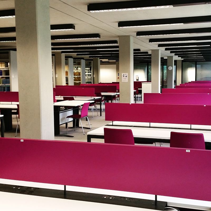
The Bodleian Social Science Library, Oxford is the main teaching social sciences lending library at the University of Oxford, England. The library supports taught programmes for both undergraduates and postgraduates, and houses a dedicated research collection part of which contains legal deposit material out-housed from the Bodleian Library. The Social Science Library uses the Library of Congress classification scheme. ()
Coordinates: 51°45'26"N, 1°14'55"W
Day trips
Social Science Library – popular in the area (distance from the attraction)
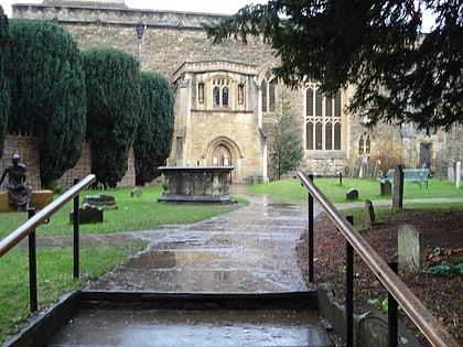
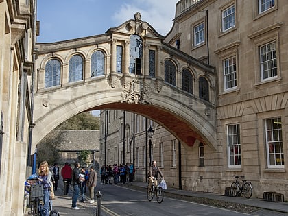
Nearby attractions include: Sheldonian Theatre, Turf Tavern, St Peter-in-the-East, Bridge of Sighs.
Frequently Asked Questions (FAQ)
Which popular attractions are close to Social Science Library?
Nearby attractions include Bodleian Law Library, Oxford (1 min walk), St Cross Road, Oxford (1 min walk), Manor Road, Oxford (2 min walk), St Cross Church, Oxford (2 min walk).
How to get to Social Science Library by public transport?
The nearest stations to Social Science Library:
Bus
Train
Bus
- Queens Lane • Lines: 10, 15, 280, 3A, 5A, Lgw, Lhr, Tube, U1, X3, X90 (9 min walk)
- Turl Street • Lines: 280, 3A, U1 (12 min walk)
Train
- Oxford (25 min walk)


