Marks Gate, Romford
Map
Facts and practical information
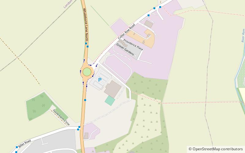
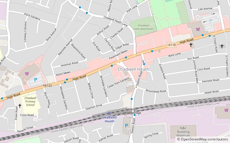
Marks Gate is an area in Little Heath in Ilford at the northern tip of the London Borough of Barking and Dagenham in East London, England. It is located immediately north of Chadwell Heath and to the west of Romford. ()
Address
Barking and Dagenham (Chadwell Heath)Romford
ContactAdd
Social media
Add
Getting there by public transportation
Public transportation stops near this location
- Bus
 Bus
Bus
- Calculate routeMarks Gate / Billet Road 4 min walk
- Calculate routeThe City Pavilion 4 min walk
- Calculate routeFurze Farm Close 6 min walk
- Calculate routeSungate Cottages 6 min walk
Day trips


Frequently Asked Questions (FAQ)
How to get to Marks Gate by public transport?
The nearest stations to Marks Gate:
Bus
Bus
- Marks Gate / Billet Road • Lines: 362, 62 (4 min walk)
- The City Pavilion • Lines: 247, 362 (4 min walk)