South Croydon, Warlingham
Map

Map

Facts and practical information
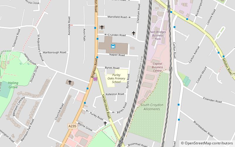
South Croydon in south London is the area surrounding the valley south of central Croydon and running as far south as the former Red Deer public house on the Brighton Road. It is bounded by Waddon to the West and Selsdon and Sanderstead to the East. It is part of the South Croydon post town and in the London Borough of Croydon. It is essentially a dormitory suburb for Croydon and London. ()
Address
Croydon (Croham)Warlingham
ContactAdd
Social media
Add
Day trips
South Croydon – popular in the area (distance from the attraction)
Nearby attractions include: Waddon Ponds, Croham Hurst, Roundshaw Downs, Coombe Wood.
Frequently Asked Questions (FAQ)
Which popular attractions are close to South Croydon?
Nearby attractions include Croham Hurst, London (18 min walk), Colonnades Leisure Park, Warlingham (22 min walk).
How to get to South Croydon by public transport?
The nearest stations to South Croydon:
Bus
Train
Tram
Bus
- Croydon Bus Garage (3 min walk)
- South Croydon Bus Garage • Lines: 166, 312, 407, 466, 60, N68 (3 min walk)
Train
- Sanderstead (9 min walk)
- Purley Oaks (12 min walk)
Tram
- Lloyd Park • Lines: 3 (26 min walk)


