Park Hill Recreation Ground, London
Map
Gallery

Facts and practical information
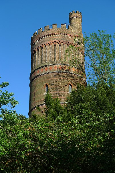
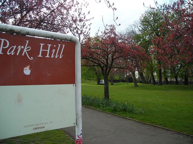
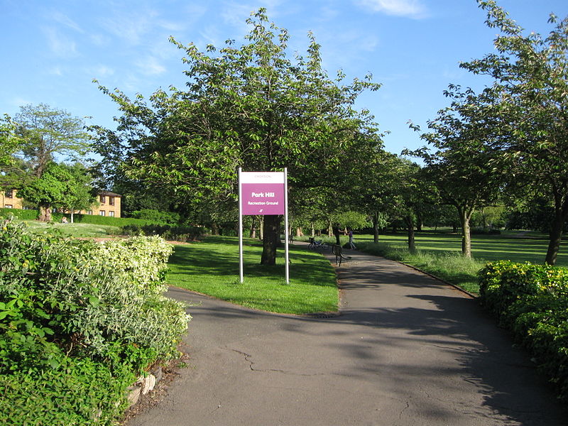
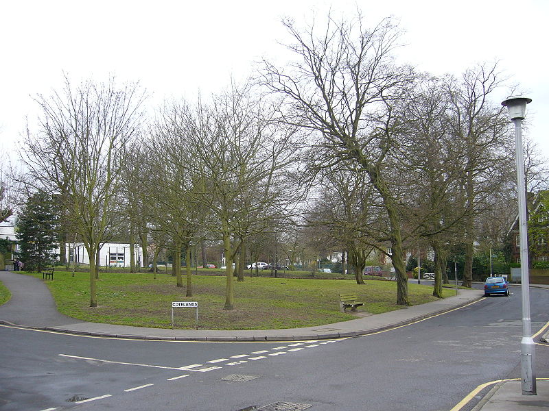
Park Hill Recreation Ground is a 15 acres park near the centre of Croydon, Greater London, managed by the London Borough of Croydon. It runs from Barclay Road to Coombe Road beside the railway line, with the main entrances on Water Tower Hill and Barclay Road. The nearest stations are East Croydon to the north for Tramlink and National Rail services and South Croydon to the south for National Rail. The park was officially renamed as Park Hill in 1964. ()
Elevation: 256 ft a.s.l.Coordinates: 51°22'9"N, 0°5'30"W
Day trips
Park Hill Recreation Ground – popular in the area (distance from the attraction)
Nearby attractions include: St George's Walk, Whitgift Centre, Centrale, Queen's Gardens.
Frequently Asked Questions (FAQ)
Which popular attractions are close to Park Hill Recreation Ground?
Nearby attractions include Altitude 25, Warlingham (6 min walk), Ashcroft Theatre, Warlingham (7 min walk), Fairfield Halls, Warlingham (7 min walk), Queen's Gardens, London (9 min walk).
How to get to Park Hill Recreation Ground by public transport?
The nearest stations to Park Hill Recreation Ground:
Bus
Tram
Train
Bus
- Selborne Road • Lines: 433, 64 (7 min walk)
- Coombe Road • Lines: 433, 64 (7 min walk)
Tram
- East Croydon • Lines: 2, 3, 4 (10 min walk)
- George Street • Lines: 2, 3, 4 (12 min walk)
Train
- South Croydon (12 min walk)
- East Croydon (12 min walk)


 Tube
Tube


