St. Ninians, Stirling
Map
Gallery
Facts and practical information
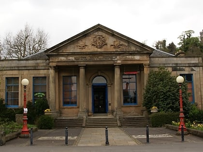
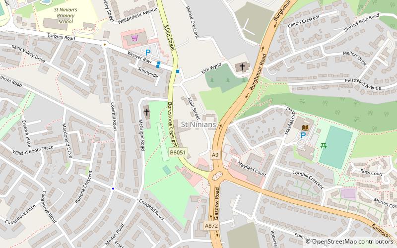
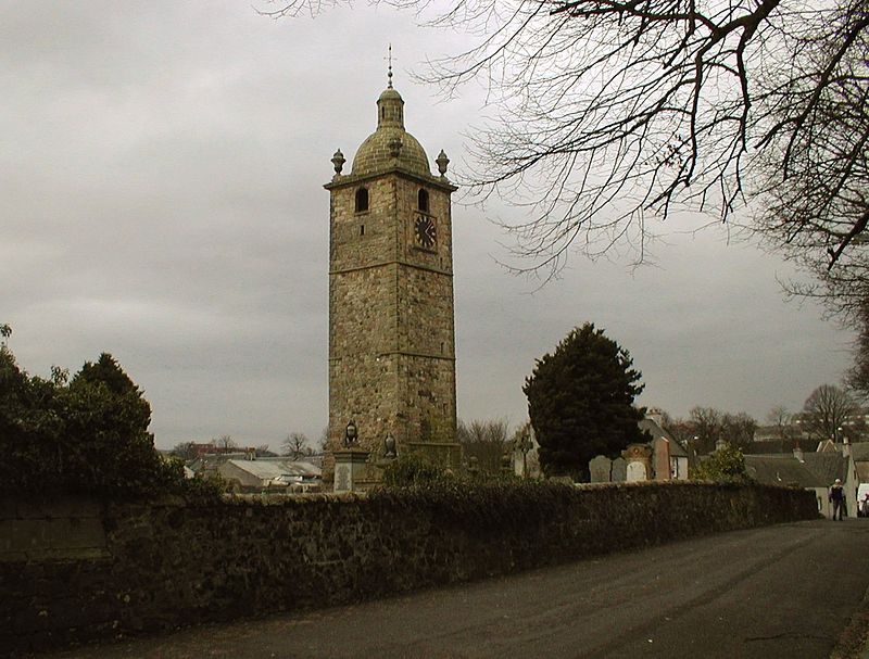
St. Ninians is a long-standing settlement which is now a district of the city of Stirling in central Scotland. It is located approximately one mile south of the city centre. It was originally known as Eccles, and may have been a Christian site from an unusually early date. Later called 'St. Ringan's'. This church was the administrative centre for churches across the strath of the River Forth. ()
Coordinates: 56°6'6"N, 3°56'18"W
Address
Stirling
ContactAdd
Social media
Add
Day trips
St. Ninians – popular in the area (distance from the attraction)
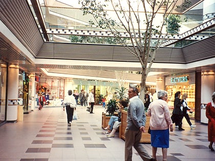
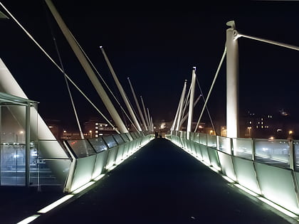
Nearby attractions include: Thistles Centre, Forthbank Stadium, Equestrian statue of Robert the Bruce, Brucefields Family Golf Centre.
Frequently Asked Questions (FAQ)
Which popular attractions are close to St. Ninians?
Nearby attractions include Equestrian statue of Robert the Bruce, Stirling (13 min walk), Torbrex Village, Stirling (15 min walk).
How to get to St. Ninians by public transport?
The nearest stations to St. Ninians:
Bus
Bus
- Allan Park South Church • Lines: B12 (28 min walk)
- Stirling Bus Station • Lines: 24, B12, C11, X39 (30 min walk)

