Beinn Chaorach, Loch Lomond and The Trossachs National Park
#8 among attractions in Loch Lomond and The Trossachs National Park
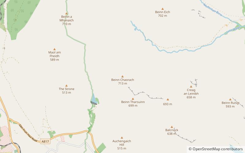

Facts and practical information
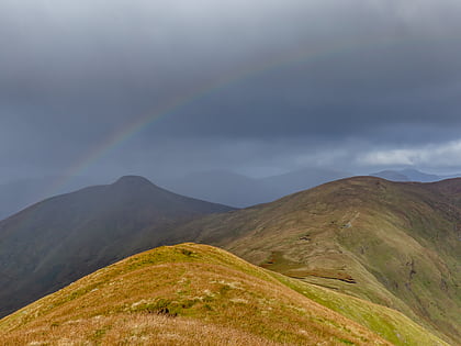
Beinn Chaorach is a hill in the southern foothills of the Grampian Mountains of Scotland. It lies in the Luss Hills of Argyll and Bute, between Loch Lomond and Loch Long. ()
Loch Lomond and The Trossachs National Park United Kingdom
Beinn Chaorach – popular in the area (distance from the attraction)
Nearby attractions include: Hill House, Luss Parish Church, Beinn Bhreac, Luss Pier.
 Architecture, Museum, Reportedly haunted
Hill House, Helensburgh
137 min walk • Hill House in Helensburgh, Scotland, is one of Charles and Margaret Macdonald Mackintosh's most famous works, probably second only to the Glasgow School of Art. The house is a prominent example of the Modern Style. It was designed and built for the publisher Walter Blackie in 1902–1904.
 Architecture, Church
Luss Parish Church, Loch Lomond and The Trossachs National Park
117 min walk • Luss Parish Church is a Church of Scotland church in Luss, Argyll and Bute, dedicated to Saint Kessog. The current minister is the Reverend Dane Sherrard, who joined in December 1998.
 Nature, Natural attraction, Mountain
Beinn Bhreac, Tarbet
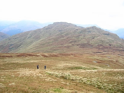
133 min walk • Beinn Bhreac is a mountain in Argyll and Bute, Scotland. It is part of the Luss Hills, a southern subrange of the Grampian Mountains. Rising from the western shore of Loch Lomond near the village of Tarbet, it takes the form of a rough ridge.
 Street
Luss Pier, Luss
115 min walk • Pier Road is a street in Luss, Argyll and Bute, Scotland. Located on Loch Lomond's western shore, the road, which is on an east–west alignment, consists of around twenty buildings, many of which are listed cottages dating from the 19th century.
 Mountain
Tullich Hill, Tarbet
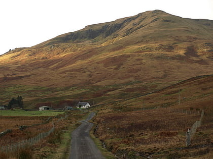
132 min walk • Tullich Hill is a hill in the southern Grampian Mountains of Scotland. It lies south of the village of Arrochar, between Loch Long and Loch Lomond in Argyll. An irregular, rocky hill, its most distinguished feature is the corrie on its southern slopes.
 Area
AreaInchgalbraith, Loch Lomond and The Trossachs National Park
133 min walk • Inchgalbraith is an islet in Loch Lomond, Scotland, and is the ancestral home of Clan Galbraith.
 Nature, Natural attraction, Lake
Helensburgh No. 1 Reservoir
136 min walk • The Helensburgh No. 1 reservoir is of the non-impounding variety. It is no longer part of the local water supply system and is used by Helensburgh Angling Club. The earthen dam is 6 metres high and records show it was constructed before 1868.
 Nature, Natural attraction, Valley
Glen Douglas, Inverbeg
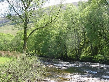
106 min walk • Glen Douglas is a glen in the southwest Scottish Highlands. It is drained by the Douglas Water, which discharges at the village of Inverbeg at its eastern end into Loch Lomond.
 Harbor
Finnart Oil Terminal
86 min walk • Finnart Oil Terminal, also known as Finnart Ocean Terminal or Chap Point, is an oil depot on the eastern shore of Loch Long, Firth of Clyde on the west coast of Scotland, about 2 miles to the north of Garelochhead on the A814 road to Arrochar.
 Natural feature
Luss Hills, Loch Lomond and The Trossachs National Park
74 min walk • The Luss Hills are a hill range located in Argyll, Scotland. They are part of the southern foothills of the Grampian Mountains and lie west of Loch Lomond, above the village of Luss in the Loch Lomond and The Trossachs National Park.
 Nature, Natural attraction, Valley
Glen Fruin, Loch Lomond and The Trossachs National Park
71 min walk • Glen Fruin is a glen in Scotland, adjacent to Loch Lomond. It contains the Fruin Water which flows into the loch, and a road, now the A817 road, known as the Glen Fruin Haul Road, which goes from the A82 up the glen and over the top of the hills to HMNB Clyde at Garelochhead.
