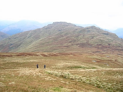
Beinn Bhreac, Tarbet
#2 among attractions in Tarbet
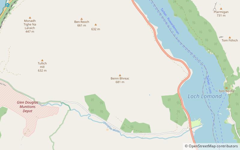

Facts and practical information
Beinn Bhreac is a mountain in Argyll and Bute, Scotland. It is part of the Luss Hills, a southern subrange of the Grampian Mountains. ()
Tarbet United Kingdom
Beinn Bhreac – popular in the area (distance from the attraction)
Nearby attractions include: Ben Lomond, The Cobbler, Luss Parish Church, Beinn Narnain.
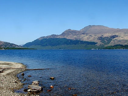 Mountain with climbing routes and birds
Ben Lomond, Loch Lomond and The Trossachs National Park
86 min walk • Ben Lomond, 974 metres, is a mountain in the Scottish Highlands. Situated on the eastern shore of Loch Lomond, it is the most southerly of the Munros.
 Distinctive mountain reaching 884m high
The Cobbler, Tarbet
134 min walk • The Cobbler is an 884 metres mountain located near the head of Loch Long in Argyll and Bute, Scotland. It is a Corbett, and is an important site for rock climbing in the Southern Highlands.
 Architecture, Church
Luss Parish Church, Loch Lomond and The Trossachs National Park
130 min walk • Luss Parish Church is a Church of Scotland church in Luss, Argyll and Bute, dedicated to Saint Kessog. The current minister is the Reverend Dane Sherrard, who joined in December 1998.
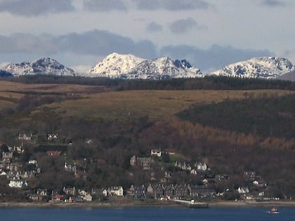 Nature, Natural attraction, Mountain
Beinn Narnain, Loch Lomond and The Trossachs National Park
135 min walk • Beinn Narnain is a mountain in the southern Highlands of Scotland, near Arrochar. It forms part of a group of hills known as the Arrochar Alps, and is a Munro. The name Beinn Narnain means "hill of notches", and describes the mountain's notched profile. Beinn Narnain is usually climbed from Succoth at the head of Loch Long.
 Mountain
Beinn Chaorach, Loch Lomond and The Trossachs National Park
133 min walk • Beinn Chaorach is a hill in the southern foothills of the Grampian Mountains of Scotland. It lies in the Luss Hills of Argyll and Bute, between Loch Lomond and Loch Long.
 Street
Luss Pier, Luss
128 min walk • Pier Road is a street in Luss, Argyll and Bute, Scotland. Located on Loch Lomond's western shore, the road, which is on an east–west alignment, consists of around twenty buildings, many of which are listed cottages dating from the 19th century.
 Mountain
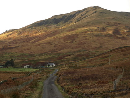
Tullich Hill, Tarbet
45 min walk • Tullich Hill is a hill in the southern Grampian Mountains of Scotland. It lies south of the village of Arrochar, between Loch Long and Loch Lomond in Argyll. An irregular, rocky hill, its most distinguished feature is the corrie on its southern slopes.
 Area
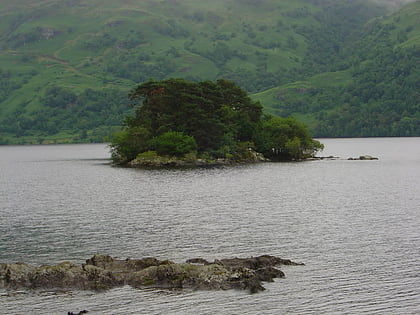
AreaInchlonaig, Loch Lomond and The Trossachs National Park
142 min walk • Inchlonaig is an island in Loch Lomond in Scotland.
 Area
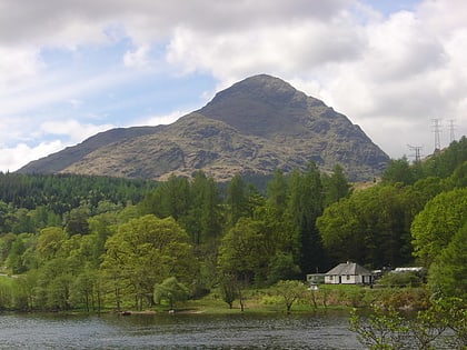
AreaTarbet Isle, Loch Lomond and The Trossachs National Park
86 min walk • Tarbet Isle is an island in Loch Lomond, Scotland. It is off Tarbet on the mainland. It is 10 feet at its highest point, and 80 metres long.
 Nature, Natural attraction, Mountain
A' Chrois, Tarbet
133 min walk • A' Chrois is a mountain located in the Arrochar Alps north west of Arrochar in Argyll, an extremely scenic area which is technically in the highlands although it is within easy reach of the heavily populated areas of Glasgow.
 Nature, Natural attraction, Valley
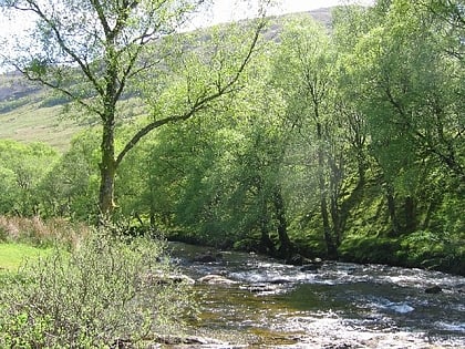
Glen Douglas, Inverbeg
28 min walk • Glen Douglas is a glen in the southwest Scottish Highlands. It is drained by the Douglas Water, which discharges at the village of Inverbeg at its eastern end into Loch Lomond.
