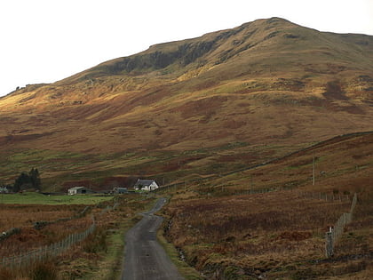
Tullich Hill, Tarbet
#3 among attractions in Tarbet
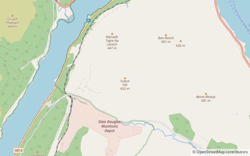

Facts and practical information
Tullich Hill is a hill in the southern Grampian Mountains of Scotland. It lies south of the village of Arrochar, between Loch Long and Loch Lomond in Argyll. ()
Tarbet United Kingdom
Tullich Hill – popular in the area (distance from the attraction)
Nearby attractions include: Ben Lomond, The Cobbler, Beinn Narnain, Beinn Bhreac.
 Mountain with climbing routes and birds
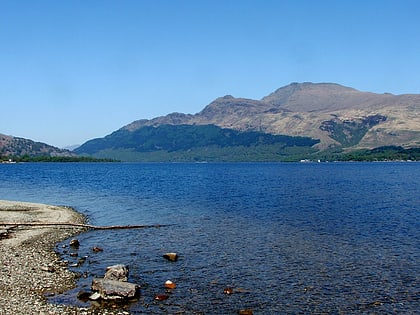
Ben Lomond, Loch Lomond and The Trossachs National Park
121 min walk • Ben Lomond, 974 metres, is a mountain in the Scottish Highlands. Situated on the eastern shore of Loch Lomond, it is the most southerly of the Munros.
 Distinctive mountain reaching 884m high
The Cobbler, Tarbet
99 min walk • The Cobbler is an 884 metres mountain located near the head of Loch Long in Argyll and Bute, Scotland. It is a Corbett, and is an important site for rock climbing in the Southern Highlands.
 Nature, Natural attraction, Mountain
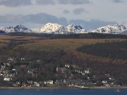
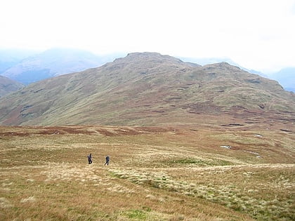
Beinn Narnain, Loch Lomond and The Trossachs National Park
104 min walk • Beinn Narnain is a mountain in the southern Highlands of Scotland, near Arrochar. It forms part of a group of hills known as the Arrochar Alps, and is a Munro. The name Beinn Narnain means "hill of notches", and describes the mountain's notched profile. Beinn Narnain is usually climbed from Succoth at the head of Loch Long.
 Nature, Natural attraction, Mountain
Beinn Bhreac, Tarbet
45 min walk • Beinn Bhreac is a mountain in Argyll and Bute, Scotland. It is part of the Luss Hills, a southern subrange of the Grampian Mountains. Rising from the western shore of Loch Lomond near the village of Tarbet, it takes the form of a rough ridge.
 Mountain
Beinn Chaorach, Loch Lomond and The Trossachs National Park
132 min walk • Beinn Chaorach is a hill in the southern foothills of the Grampian Mountains of Scotland. It lies in the Luss Hills of Argyll and Bute, between Loch Lomond and Loch Long.
 Area
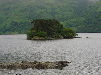
AreaTarbet Isle, Loch Lomond and The Trossachs National Park
94 min walk • Tarbet Isle is an island in Loch Lomond, Scotland. It is off Tarbet on the mainland. It is 10 feet at its highest point, and 80 metres long.
 Nature, Natural attraction, Mountain
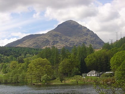
A' Chrois, Tarbet
112 min walk • A' Chrois is a mountain located in the Arrochar Alps north west of Arrochar in Argyll, an extremely scenic area which is technically in the highlands although it is within easy reach of the heavily populated areas of Glasgow.
 Nature, Natural attraction, Valley
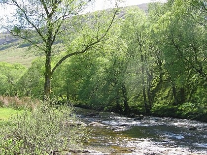
Glen Douglas, Inverbeg
43 min walk • Glen Douglas is a glen in the southwest Scottish Highlands. It is drained by the Douglas Water, which discharges at the village of Inverbeg at its eastern end into Loch Lomond.
 Nature, Natural attraction, Mountain
Cnoc Coinnich, Loch Lomond and The Trossachs National Park
96 min walk • Cnoc Coinnich is a Corbett situated in Ardgoil in the Argyll & Bute council region and forms part of the Arrochar Alps. Cnoc Coinnich missed out on Corbett status by one metre until July 2016 when it was resurveyed at the instigation of the Scottish Mountaineering Club.
 Nature, Natural attraction, Mountain
The Brack, Loch Lomond and The Trossachs National Park
86 min walk • The Brack is a mountain, located in the Arrochar Alps, on the south side of Glen Croe, near Loch Goil in Argyll and Bute in Scotland.
 Harbor
Finnart Oil Terminal
124 min walk • Finnart Oil Terminal, also known as Finnart Ocean Terminal or Chap Point, is an oil depot on the eastern shore of Loch Long, Firth of Clyde on the west coast of Scotland, about 2 miles to the north of Garelochhead on the A814 road to Arrochar.
