Glen Douglas, Inverbeg
Map
Gallery
Facts and practical information
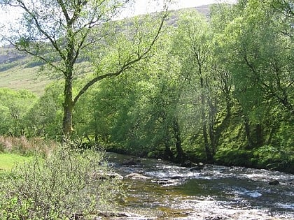
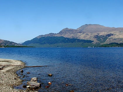
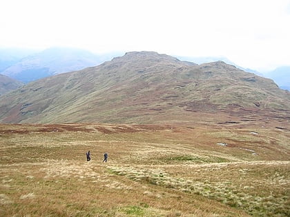
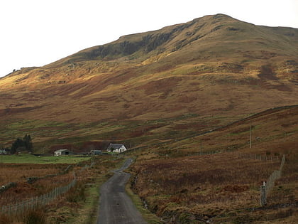
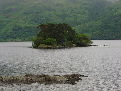
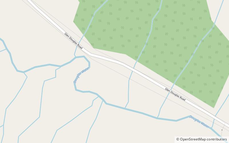
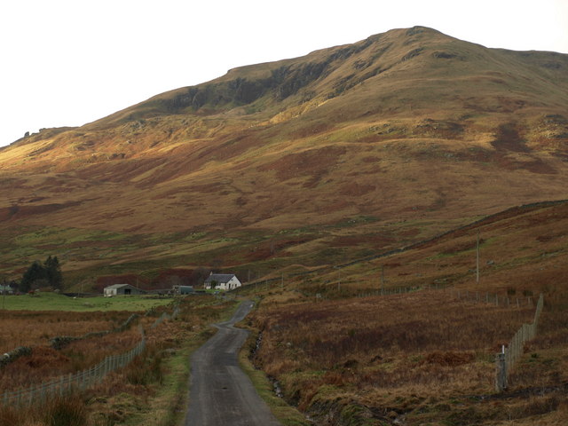
Glen Douglas is a glen in the southwest Scottish Highlands. It is drained by the Douglas Water, which discharges at the village of Inverbeg at its eastern end into Loch Lomond. The glen is followed by a single-track road which links the A82 road alongside Loch Lomond with the A814 road beside Loch Long. The glen is overlooked to the north by Beinn Bhreac and Tullich Hill and to the south by Doune Hill and a 655 m hill known as Coire na h-Eanachan. ()
Coordinates: 56°9'0"N, 4°43'12"W
Address
Inverbeg
ContactAdd
Social media
Add
Day trips
Glen Douglas – popular in the area (distance from the attraction)
Nearby attractions include: Ben Lomond, The Cobbler, Luss Parish Church, Beinn Bhreac.
