Broomfield Park, London
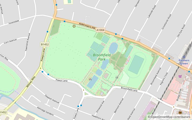
Map

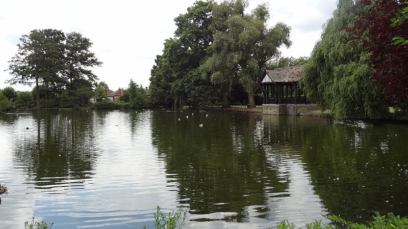
Gallery

Facts and practical information
Broomfield Park is a 21 hectare public park in Palmers Green in the London Borough of Enfield. It is a Site of Local Importance for Nature Conservation and is registered by English Heritage in the Register of Historic Parks and Gardens for its special historic interest ()
Elevation: 135 ft a.s.l.Coordinates: 51°37'7"N, 0°7'5"W
Day trips
Broomfield Park – popular in the area (distance from the attraction)
Nearby attractions include: Grovelands Park, George Meehan House, Braemar Avenue Baptist Church, O.R. Tambo Recreation Ground.
Frequently Asked Questions (FAQ)
How to get to Broomfield Park by public transport?
The nearest stations to Broomfield Park:
Bus
Train
Metro
Bus
- Broomfield Park • Lines: 121, 616, W6 (4 min walk)
- Broomfield Lane • Lines: 299 (5 min walk)
Train
- Palmers Green (9 min walk)
- Bowes Park (21 min walk)
Metro
- Bounds Green • Lines: Piccadilly (21 min walk)
- Southgate • Lines: Piccadilly (27 min walk)

 Tube
Tube


