Maybury, Edinburgh
Map

Gallery
Facts and practical information
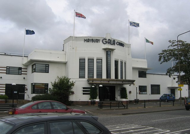
Maybury is an area on the western edge of Edinburgh, Scotland, near South Gyle and Ingliston, named after the road, which is itself named after the civil engineer Sir Henry Maybury. In 2021, residents have been undertaking community clean ups to clear the foot paths along the road. The area is residential in the north east/east and commercial in the south and west and The Gyle Shopping Centre is nearby. In 2021, there was a consultation about creating a Primary School and Health Centre in Maybury. ()
Coordinates: 55°56'27"N, 3°18'48"W
Address
GyleEdinburgh
ContactAdd
Social media
Add
Day trips
Maybury – popular in the area (distance from the attraction)
Nearby attractions include: Gyle Shopping Centre, Turnhouse Golf Club, Bankhead, Corstorphine Old Parish Church.
Frequently Asked Questions (FAQ)
Which popular attractions are close to Maybury?
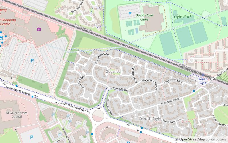
Nearby attractions include West Craigs, Edinburgh (5 min walk), Gogarloch, Edinburgh (11 min walk), South Gyle, Edinburgh (15 min walk), East Craigs, Edinburgh (18 min walk).
How to get to Maybury by public transport?
The nearest stations to Maybury:
Bus
Train
Tram
Bus
- Maybury Road • Lines: 100, 200, 31 (2 min walk)
- North Gyle Terrace • Lines: 31 (2 min walk)
Train
- Edinburgh Gateway (7 min walk)
- South Gyle (16 min walk)
Tram
- Gyle Centre • Lines: Edinburgh Trams Eastbound, Edinburgh Trams Westbound (7 min walk)
- Edinburgh Park Central • Lines: Edinburgh Trams Eastbound, Edinburgh Trams Westbound (17 min walk)


