Wester Broom, Edinburgh
Map
Facts and practical information
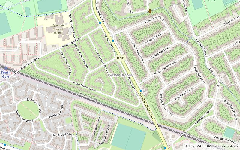
Wester Broom is a district of Edinburgh, Scotland. It borders Broomhouse/Forrester, Corstorphine and South Gyle. It is sometimes considered to be part of one of the latter two. It is mainly residential, with a few small shops and a large Tesco nearby. The Fife railway line is arguably the boundary, although some will extend it south to the Glasgow line, and to include Forresters and two schools. ()
Coordinates: 55°56'10"N, 3°17'28"W
Address
GyleEdinburgh
ContactAdd
Social media
Add
Getting there by public transportation
Public transportation stops near this location
- Bus
- Tram
- Train
 Bus
Bus
- Calculate routeBroomhall Gardens 2 min walk
- Calculate routeDunsmuir Court 7 min walk
- Calculate routeForester Park Avenue 7 min walk
- Calculate routeSouth Gyle 9 min walk
- Calculate routeEdinburgh Park 23 min walk
- Calculate routeEdinburgh Gateway 30 min walk
- Calculate routeBankhead 14 min walk
- Calculate routeSaughton 17 min walk
- Calculate routeEdinburgh Park Central 25 min walk
Day trips


Frequently Asked Questions (FAQ)
Which popular attractions are close to Wester Broom?
Nearby attractions include Forrester, Edinburgh (10 min walk), South Gyle, Edinburgh (13 min walk), Corstorphine Old Parish Church, Edinburgh (13 min walk), Gogarloch, Edinburgh (15 min walk).
How to get to Wester Broom by public transport?
The nearest stations to Wester Broom:
Bus
Train
Tram
Bus
- Broomhall Gardens • Lines: 21 (2 min walk)
- Dunsmuir Court • Lines: 1 (7 min walk)
Train
- South Gyle (9 min walk)
- Edinburgh Park (23 min walk)
Tram
- Bankhead • Lines: Edinburgh Trams Eastbound, Edinburgh Trams Westbound (14 min walk)
- Saughton • Lines: Edinburgh Trams Eastbound, Edinburgh Trams Westbound (17 min walk)