St Mary of Debre Tsion, London
Map
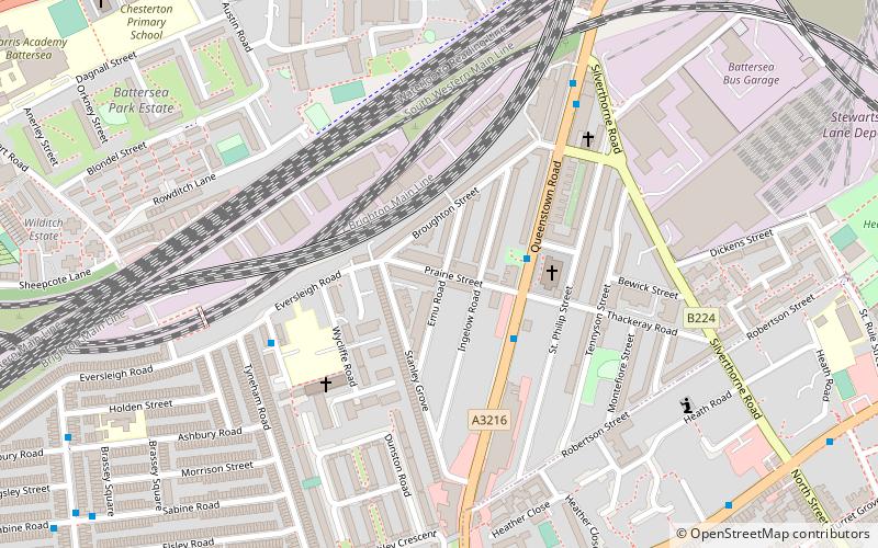
Map

Facts and practical information
St Mary of Debre Tsion, Battersea is a church in Battersea, London. ()
Coordinates: 51°28'14"N, 0°9'4"W
Address
Wandsworth (Queenstown)London
ContactAdd
Social media
Add
Day trips
St Mary of Debre Tsion – popular in the area (distance from the attraction)
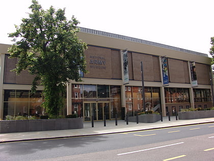
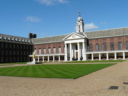
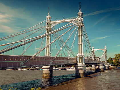
Nearby attractions include: Lavender Hill, National Army Museum, Royal Hospital, Chelsea Bridge.
Frequently Asked Questions (FAQ)
Which popular attractions are close to St Mary of Debre Tsion?
Nearby attractions include Prince of Wales Drive, London (12 min walk), The Ascension, London (12 min walk), 575 Wandsworth Road, London (12 min walk), Lavender Hill, London (13 min walk).
How to get to St Mary of Debre Tsion by public transport?
The nearest stations to St Mary of Debre Tsion:
Bus
Train
Metro
Ferry
Bus
- Prairie Street • Lines: 137, 156, 452, N137 (2 min walk)
- Shaftesbury Estate / Wickersley Road • Lines: G1 (4 min walk)
Train
- Queenstown Road (10 min walk)
- Battersea Park (14 min walk)
Metro
- Battersea Power Station • Lines: Northern (19 min walk)
- Clapham North • Lines: Northern (26 min walk)
Ferry
- Battersea Power Station Pier • Lines: Rb1, Rb2, Rb6 (25 min walk)
- Cadogan Pier • Lines: Rb6 (28 min walk)

 Tube
Tube
