Hornchurch Cutting, South Ockendon
Map

Map

Facts and practical information
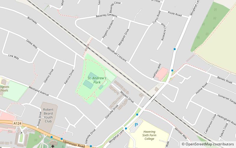
Hornchurch Cutting is an 0.8-hectare geological Site of Special Scientific Interest in Hornchurch in the London Borough of Havering. It is also a Geological Conservation Review site. ()
Coordinates: 51°33'49"N, 0°13'51"E
Address
Havering (Hornchurch)South Ockendon
ContactAdd
Social media
Add
Day trips
Hornchurch Cutting – popular in the area (distance from the attraction)
Nearby attractions include: Hornchurch Stadium, Upminster Windmill, Langtons, Roomes.
Frequently Asked Questions (FAQ)
Which popular attractions are close to Hornchurch Cutting?
Nearby attractions include Upminster Bridge, Upminster (15 min walk), London/Hornchurch, London (16 min walk), Langtons, South Ockendon (16 min walk), Upminster Windmill, London (19 min walk).
How to get to Hornchurch Cutting by public transport?
The nearest stations to Hornchurch Cutting:
Bus
Metro
Train
Bus
- Havering Sixth Form College • Lines: 193 (4 min walk)
- Lee Gardens Avenue • Lines: 193 (5 min walk)
Metro
- Upminster Bridge • Lines: District (11 min walk)
- Hornchurch • Lines: District (23 min walk)
Train
- Emerson Park (15 min walk)


