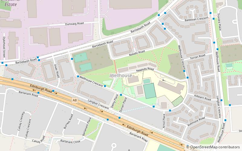
Wellhouse, Glasgow

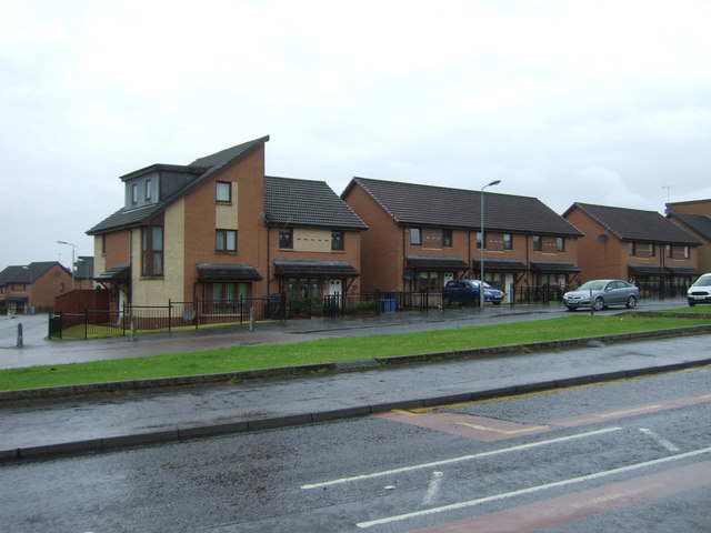
Gallery (2)
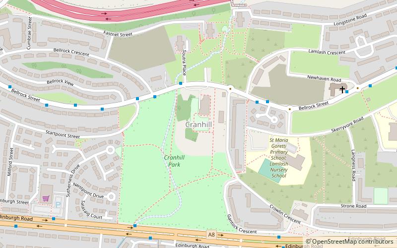
Map
Map
Gallery
Facts and practical information
Wellhouse is a residential neighbourhood in the East End of the Scottish city of Glasgow. Since 2007 it has been part of the Baillieston administrative ward within the Glasgow City Council area. ()
Coordinates: 55°51'44"N, 4°8'12"W
Address
QueenslieGlasgow
ContactAdd
Social media
Add
Getting there by public transportation
Public transportation stops near this location
- Bus
- Train
 Bus
Bus
- Calculate routeWesterhouse Road / Arnisdale Road 14 min walk
- Calculate routeFort Shopping Centre / Fort Shopping Centre 16 min walk
- Calculate routeBogbain Road / Wardie Road 20 min walk
- Calculate routeGarrowhill 15 min walk
- Calculate routeShettleston 28 min walk
- Calculate routeEasterhouse 30 min walk
Day trips


Frequently Asked Questions (FAQ)
Which popular attractions are close to Wellhouse?
Nearby attractions include Queenslie, Glasgow (9 min walk), Barlanark, Glasgow (9 min walk), Springboig, Glasgow (18 min walk), Garrowhill, Glasgow (21 min walk).
How to get to Wellhouse by public transport?
The nearest stations to Wellhouse:
Bus
Train
Bus
- Westerhouse Road / Arnisdale Road • Lines: 38, 38A (14 min walk)
- Fort Shopping Centre / Fort Shopping Centre • Lines: 38, 38A (16 min walk)
Train
- Garrowhill (15 min walk)
- Shettleston (28 min walk)