Barlanark, Glasgow
Map
Gallery
Facts and practical information
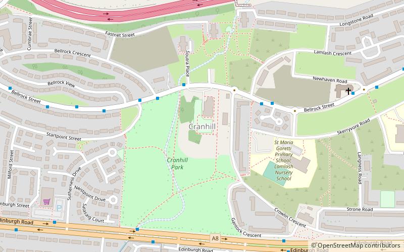
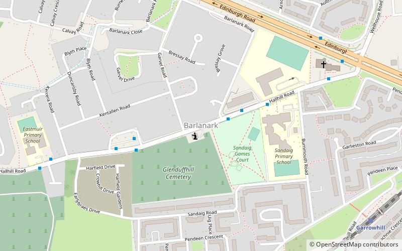
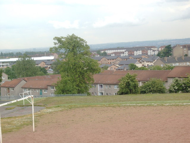
Barlanark is a district in the Scottish city of Glasgow. It is situated east of Budhill, Shettleston and Springboig, north west of Baillieston, west of Springhill and Swinton and south of Easthall, Easterhouse and Wellhouse. ()
Coordinates: 55°51'26"N, 4°8'14"W
Address
BarlanarkGlasgow
ContactAdd
Social media
Add
Day trips
Barlanark – popular in the area (distance from the attraction)
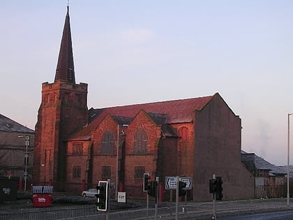
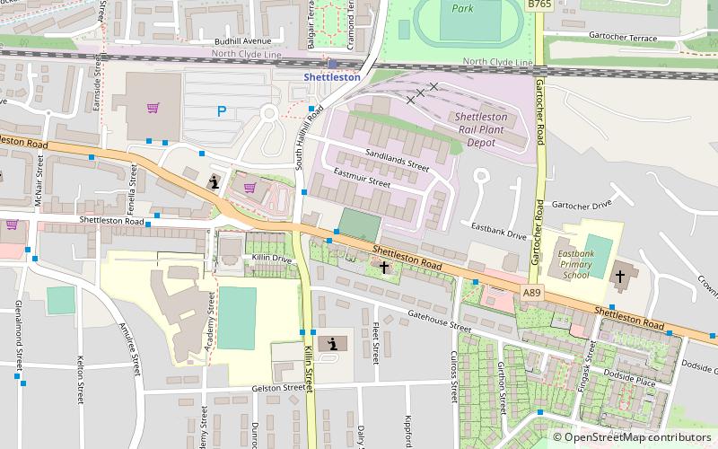
Nearby attractions include: Glasgow Fort, Shettleston New Church, St Serf's Church, Baillieston St Andrew's Church.
Frequently Asked Questions (FAQ)
Which popular attractions are close to Barlanark?
Nearby attractions include Wellhouse, Glasgow (9 min walk), Garrowhill, Glasgow (16 min walk), Queenslie, Glasgow (16 min walk), Springboig, Glasgow (17 min walk).
How to get to Barlanark by public transport?
The nearest stations to Barlanark:
Train
Bus
Train
- Garrowhill (9 min walk)
- Shettleston (24 min walk)
Bus
- Baillieston Road / Carrick Drive • Lines: 2 (13 min walk)
- Ballieston Road / Juniper Terrace • Lines: 2 (13 min walk)


