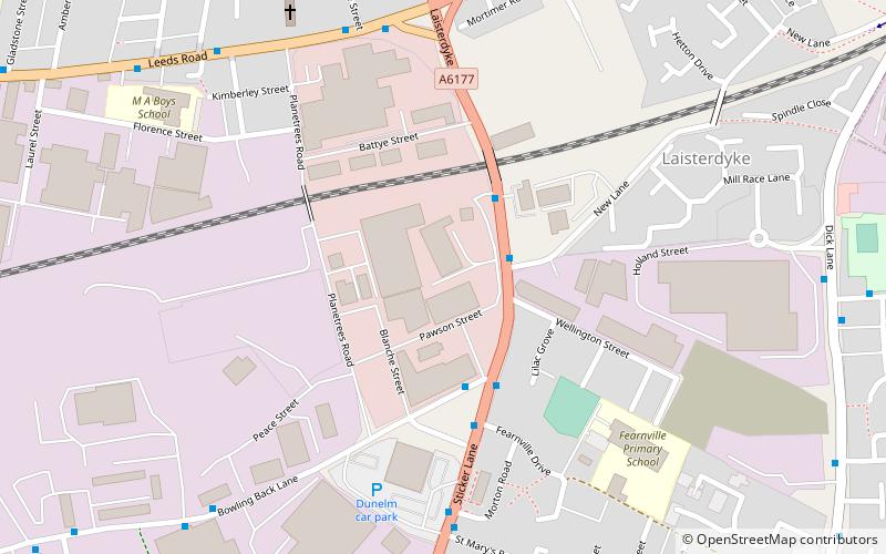
Tyersal, Leeds
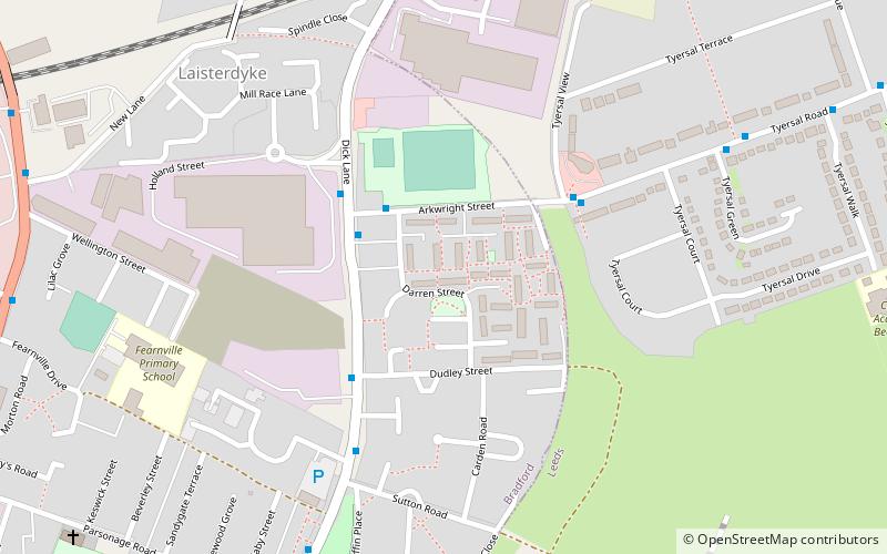
Map
Facts and practical information
Coordinates: 53°47'21"N, 1°42'35"W
Address
Bradford South (Tong)Leeds
ContactAdd
Social media
Add
Getting there by public transportation
Public transportation stops near this location
- Bus
 Bus
Bus
- Calculate routeWaterloo Road 29 min walk
Day trips


Frequently Asked Questions (FAQ)
Which popular attractions are close to Tyersal?
Nearby attractions include Laisterdyke, Bradford (10 min walk), Thornbury, Bradford (20 min walk), Holme Wood, Bradford (20 min walk).
How to get to Tyersal by public transport?
The nearest stations to Tyersal:
Bus
Bus
- Waterloo Road • Lines: 4 (29 min walk)