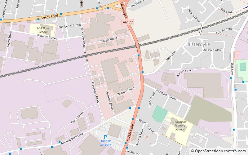
Laisterdyke, Bradford
Map
Facts and practical information
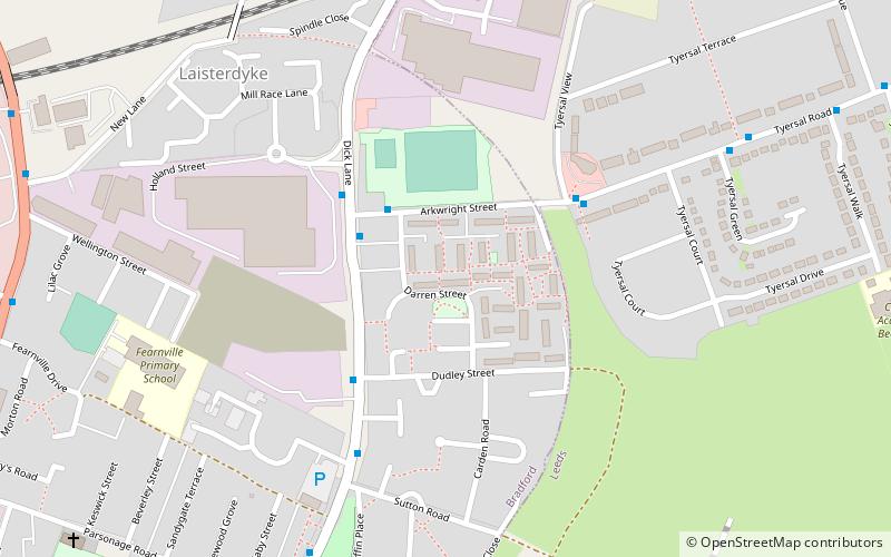
Laisterdyke is an area of Bradford, West Yorkshire, England, situated to the east of the city on the border with City of Leeds and located in the Bradford Moor ward and in the Bradford East parliamentary constituency. Laisterdyke borders Barkerend, Bradford Moor area, Thornbury, Tyersal, and Bowling. ()
Coordinates: 53°47'24"N, 1°43'8"W
Address
Bradford East (Bowling and Barkerend)Bradford
ContactAdd
Social media
Add
Day trips


Frequently Asked Questions (FAQ)
Which popular attractions are close to Laisterdyke?
Nearby attractions include Tyersal, Leeds (10 min walk), Thornbury, Bradford (15 min walk), Bradford Lakshmi Narayan Hindu Temple, Bradford (18 min walk), Holme Wood, Bradford (23 min walk).