Scotlands Estate, Wolverhampton
Map
Facts and practical information
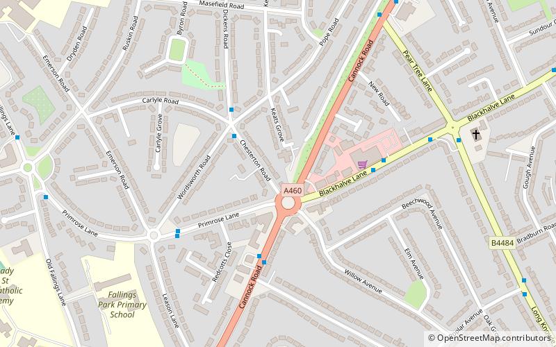
The Scotlands Estate is a residential area of Wolverhampton, West Midlands, England. ()
Coordinates: 52°36'49"N, 2°5'58"W
Address
Fallings ParkWolverhampton
ContactAdd
Social media
Add
Getting there by public transportation
Public transportation stops near this location
- Bus
 Bus
Bus
- Calculate routeChesterton Rd / Wordsworth Rd 2 min walk
- Calculate routeDickens Rd / Wordsworth Rd 3 min walk
- Calculate routeCannock Rd / Mill Lane 3 min walk
- Calculate routeBlackhalve Lane / The Scotlands 4 min walk
Day trips


Frequently Asked Questions (FAQ)
How to get to Scotlands Estate by public transport?
The nearest stations to Scotlands Estate:
Bus
Bus
- Chesterton Rd / Wordsworth Rd • Lines: 11 (2 min walk)
- Dickens Rd / Wordsworth Rd • Lines: 11 (3 min walk)