Fulham Road Jewish Cemetery, London
Map
Map

Facts and practical information
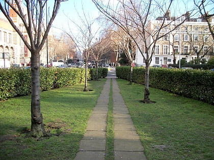
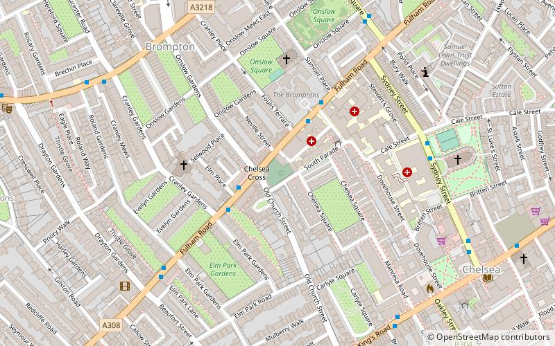
The Fulham Road Jewish Cemetery is a Jewish cemetery on Fulham Road in the Royal Borough of Kensington and Chelsea. A locked door on the Fulham Road serves as the entrance to the cemetery, otherwise it is not visible from the street. The cemetery is overlooked by the blocks of flats that surround it. ()
Coordinates: 51°29'22"N, 0°10'30"W
Address
Kensington and Chelsea (Chelsea)London
ContactAdd
Social media
Add
Day trips
Fulham Road Jewish Cemetery – popular in the area (distance from the attraction)
Nearby attractions include: Natural History Museum, King's Road, Geological Museum, Ismaili Centre.
Frequently Asked Questions (FAQ)
Which popular attractions are close to Fulham Road Jewish Cemetery?
Nearby attractions include Church of St Yeghiche, London (4 min walk), Carlyle Square, London (6 min walk), St Luke's Church, London (6 min walk), Onslow Square, London (6 min walk).
How to get to Fulham Road Jewish Cemetery by public transport?
The nearest stations to Fulham Road Jewish Cemetery:
Bus
Metro
Ferry
Train
Bus
- Old Church Street • Lines: 14, 211, 345, 414 (2 min walk)
- Royal Brompton Hospital / Royal Marsden Hospital • Lines: 14, 211, 345, 414 (3 min walk)
Metro
- South Kensington • Lines: Circle, District, Piccadilly (9 min walk)
- Gloucester Road • Lines: Circle, District, Piccadilly (14 min walk)
Ferry
- Cadogan Pier • Lines: Rb6 (15 min walk)
- Chelsea Harbour Pier • Lines: Rb6 (28 min walk)
Train
- Imperial Wharf (27 min walk)
- Battersea Park (37 min walk)

 Tube
Tube