Worcester Rowing Club, Worcester
Map

Map

Facts and practical information
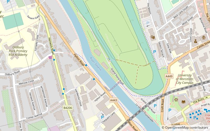
Worcester Rowing Club is a rowing club on the River Severn, based at The Boathouse, Grandstand Road, Pitchcroft, Worcester, Worcestershire, West Midlands and backs on to Worcester Racecourse. ()
Coordinates: 52°11'44"N, 2°13'57"W
Day trips
Worcester Rowing Club – popular in the area (distance from the attraction)
Nearby attractions include: Crowngate Shopping Centre, Worcester Cathedral, Worcester Racecourse, Worcester Guildhall.
Frequently Asked Questions (FAQ)
Which popular attractions are close to Worcester Rowing Club?
Nearby attractions include Swan Theatre, Worcester (5 min walk), Worcester Racecourse, Worcester (7 min walk), The Infirmary, Worcester (8 min walk), The Hive, Worcester (8 min walk).
How to get to Worcester Rowing Club by public transport?
The nearest stations to Worcester Rowing Club:
Bus
Train
Bus
- Crowngate Bus Station Stand N • Lines: 32, 32B, 332 (10 min walk)
- Crowngate Bus Station (10 min walk)
Train
- Worcester Foregate Street (13 min walk)
- Worcester Shrub Hill (25 min walk)


