Borough of Berwick-upon-Tweed, Berwick-upon-Tweed
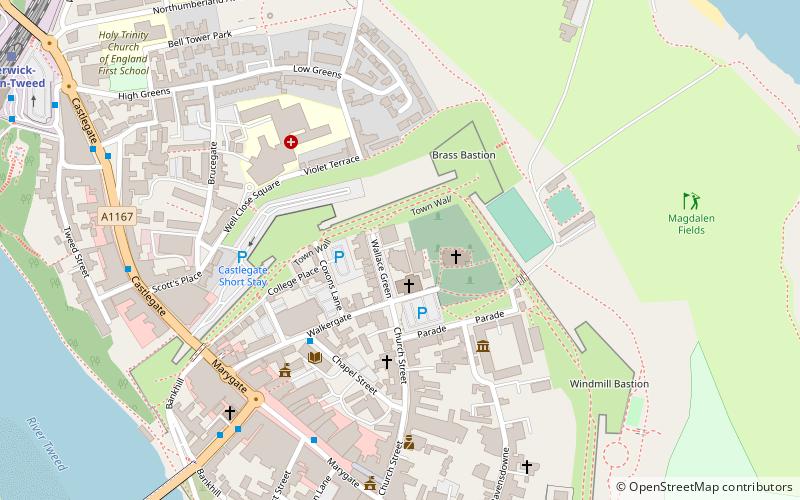
Map
Facts and practical information
Berwick-upon-Tweed was a local government district and borough in Northumberland in the north-east of England, on the border with Scotland. The district had a resident population of 25,949 according to the 2001 census, which also notes that it is the most ethnically homogeneous in the country, with 99.6% of the population recording themselves in the 2001 census as White. It was also the smallest district in England with borough status, and the third-least densely populated local government district. ()
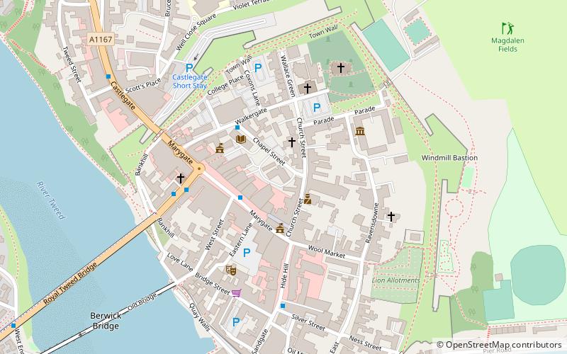
Getting there by public transportation
Public transportation stops near this location
- Bus
- Train
 Bus
Bus
- Calculate routeGolden Square 6 min walk
- Calculate routeBerwick, Castlegate Red Lion 6 min walk
- Calculate routeBerwick, Castlegate 7 min walk
- Calculate routeBerwick-upon-Tweed 10 min walk
Day trips


Frequently Asked Questions (FAQ)
Which popular attractions are close to Borough of Berwick-upon-Tweed?
Nearby attractions include Church of the Holy Trinity, Berwick-upon-Tweed (2 min walk), Berwick Barracks, Berwick-upon-Tweed (4 min walk), Shaws Lane Chapel, Berwick-upon-Tweed (4 min walk), Berwick Town Hall, Berwick-upon-Tweed (5 min walk).
How to get to Borough of Berwick-upon-Tweed by public transport?
The nearest stations to Borough of Berwick-upon-Tweed:
Bus
Train
Bus
- Golden Square • Lines: 60, 67, Bus 67 (6 min walk)
- Berwick, Castlegate Red Lion • Lines: 67, Bus 67 (6 min walk)
Train
- Berwick-upon-Tweed (10 min walk)