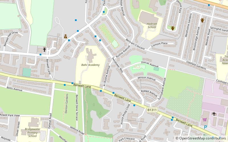
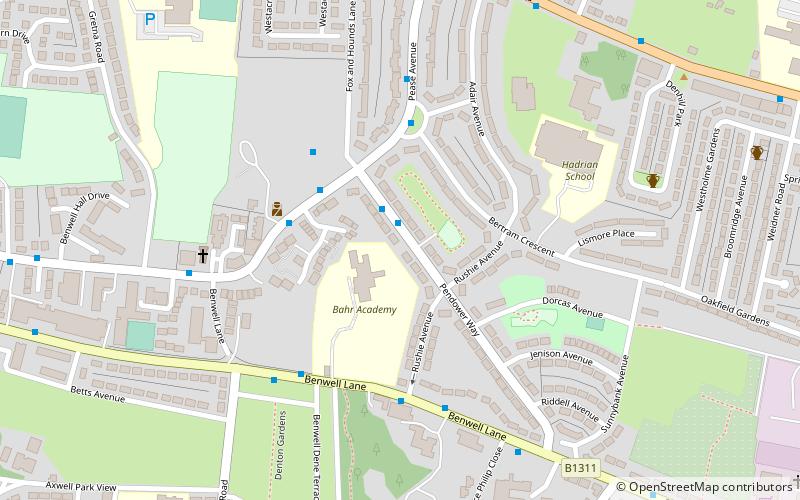
Benwell, Newcastle upon Tyne
Map
Facts and practical information
Benwell is an area in the West End of Newcastle upon Tyne, England. ()
Address
Benwell and ScotswoodNewcastle upon Tyne
ContactAdd
Social media
Add
Getting there by public transportation
Public transportation stops near this location
- Bus
- Train
 Bus
Bus
- Calculate routeBenwell Village 4 min walk
- Calculate routePease Avenue-N/B 6 min walk
- Calculate routeArmstrong Road-Hodgkin Park Road 8 min walk
- Calculate routeMetroCentre 27 min walk
Day trips
Benwell – popular in the area (distance from the attraction)
Nearby attractions include: MetroCentre Shopping Centre, St Stephen's Church, Scotswood Bridge, Scotswood Railway Bridge.


Frequently Asked Questions (FAQ)
Which popular attractions are close to Benwell?
Nearby attractions include Benwell Nature Park, Newcastle upon Tyne (3 min walk), Condercum, Hadrian's Wall (8 min walk), Antenociticus, Newcastle upon Tyne (8 min walk), Milecastle 6, Hadrian's Wall (9 min walk).
How to get to Benwell by public transport?
The nearest stations to Benwell:
Bus
Train
Bus
- Benwell Village • Lines: 32 (4 min walk)
- Pease Avenue-N/B • Lines: 32 (6 min walk)
Train
- MetroCentre (27 min walk)