Milecastle 4, Hadrian's Wall
Map

Gallery

Facts and practical information
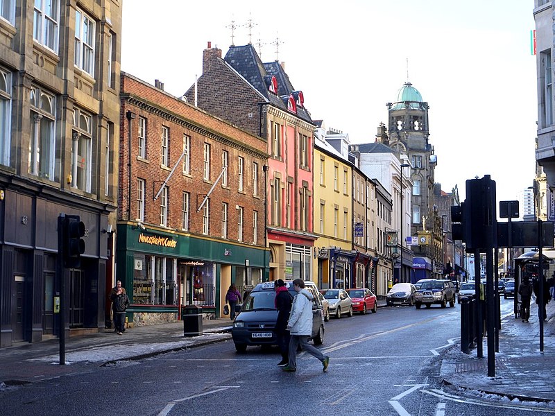
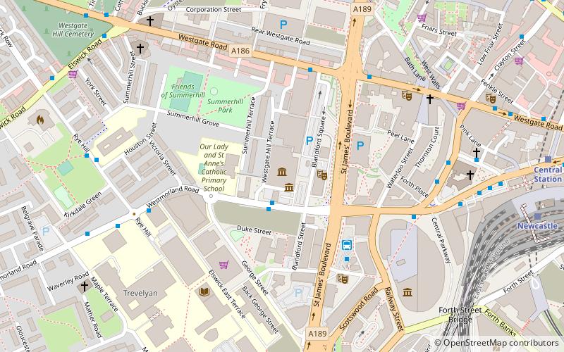
Milecastle 4 was a milecastle of the Roman Hadrian's Wall. Its remains exist beneath the Newcastle Arts Centre at 67-75 Westgate Road. This position is some way away from its predicted position which is at these coordinates: 54.970440°N 1.608669°W / 54.970440; -1.608669 The actual location is between the predicted positions of Turrets 4A and 4B, which has led to suggestions that the numbering and positioning of milecastles and turrets on this part of Hadrian's Wall should be reconsidered. ()
Address
WingroveHadrian's Wall
ContactAdd
Social media
Add
Day trips
Milecastle 4 – popular in the area (distance from the attraction)
Nearby attractions include: Metro Radio Arena, Leazes Park, Tyne and Wear Archives, Discovery Museum.
Frequently Asked Questions (FAQ)
Which popular attractions are close to Milecastle 4?
Nearby attractions include Milecastle 6, Hadrian's Wall (8 min walk), Antenociticus, Newcastle upon Tyne (9 min walk), Condercum, Hadrian's Wall (10 min walk), Benwell, Newcastle upon Tyne (17 min walk).
How to get to Milecastle 4 by public transport?
The nearest stations to Milecastle 4:
Bus
Bus
- Wingrove Road-Hadrian Road-S/B • Lines: 32 (8 min walk)
- Westgate Walk In Centre • Lines: 32 (10 min walk)


