Condercum, Hadrian's Wall

Gallery (3)
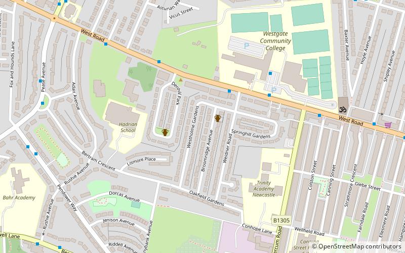
Map
Map
Gallery
Facts and practical information
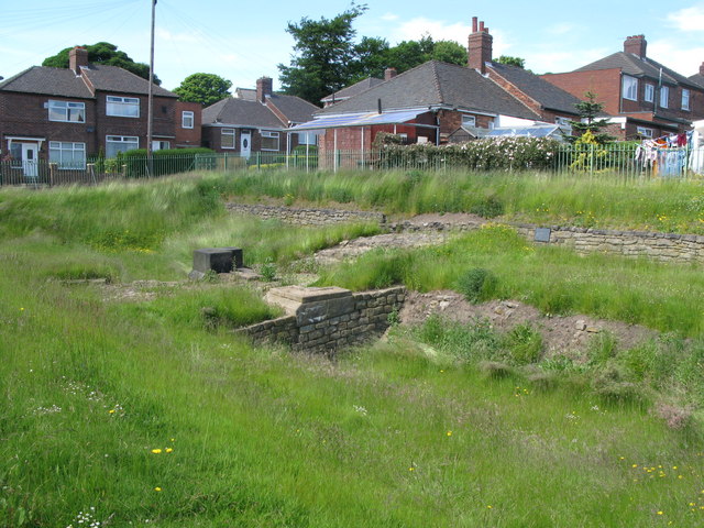
Condercum was a Roman fort on the site of the modern-day Condercum Estate in Benwell, a suburb of Newcastle upon Tyne, England. It was the third fort on Hadrian's Wall, after Segedunum and Pons Aelius, and was situated on a hilltop 2 miles to the west of the city. ()
Address
ElswickHadrian's Wall
ContactAdd
Social media
Add
Getting there by public transportation
Public transportation stops near this location
- Bus
 Bus
Bus
- Calculate routePease Avenue-N/B 8 min walk
- Calculate routeTwo Ball Lonnen-West Road-N/B 9 min walk
- Calculate routeBenwell Village 9 min walk
Day trips


Frequently Asked Questions (FAQ)
Which popular attractions are close to Condercum?
Nearby attractions include Antenociticus, Newcastle upon Tyne (1 min walk), Milecastle 6, Hadrian's Wall (2 min walk), Benwell, Newcastle upon Tyne (8 min walk), Benwell Nature Park, Newcastle upon Tyne (8 min walk).
How to get to Condercum by public transport?
The nearest stations to Condercum:
Bus
Bus
- Pease Avenue-N/B • Lines: 32 (8 min walk)
- Two Ball Lonnen-West Road-N/B • Lines: 32 (9 min walk)