Limehouse Basin, London
Facts and practical information
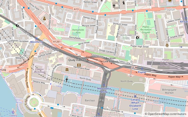
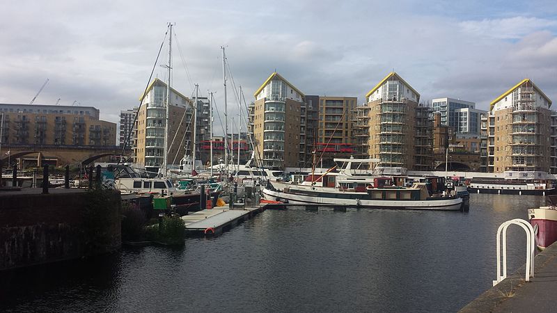
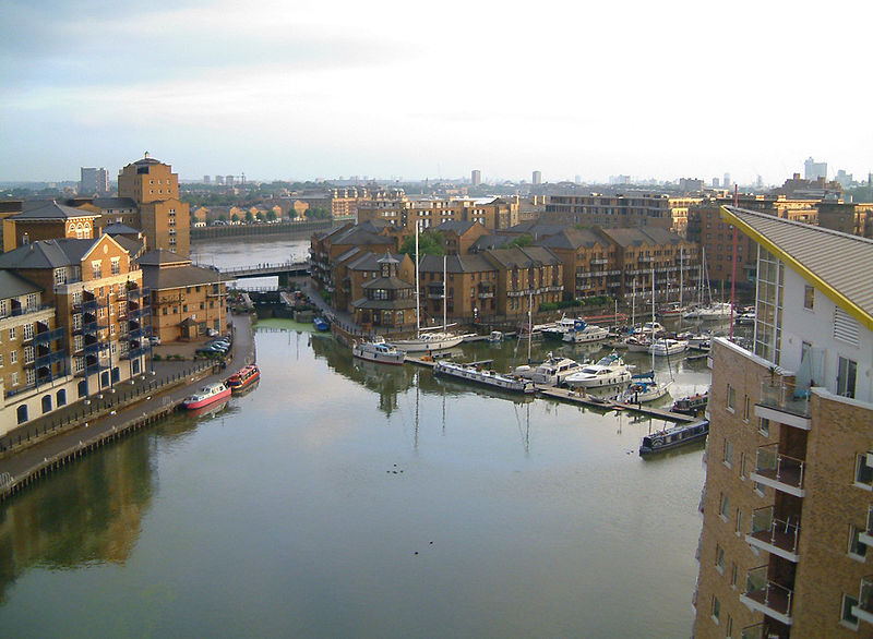
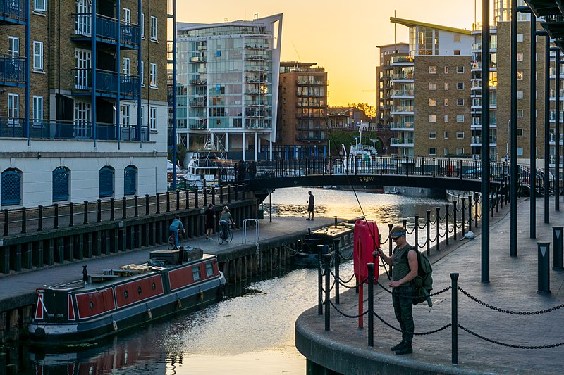
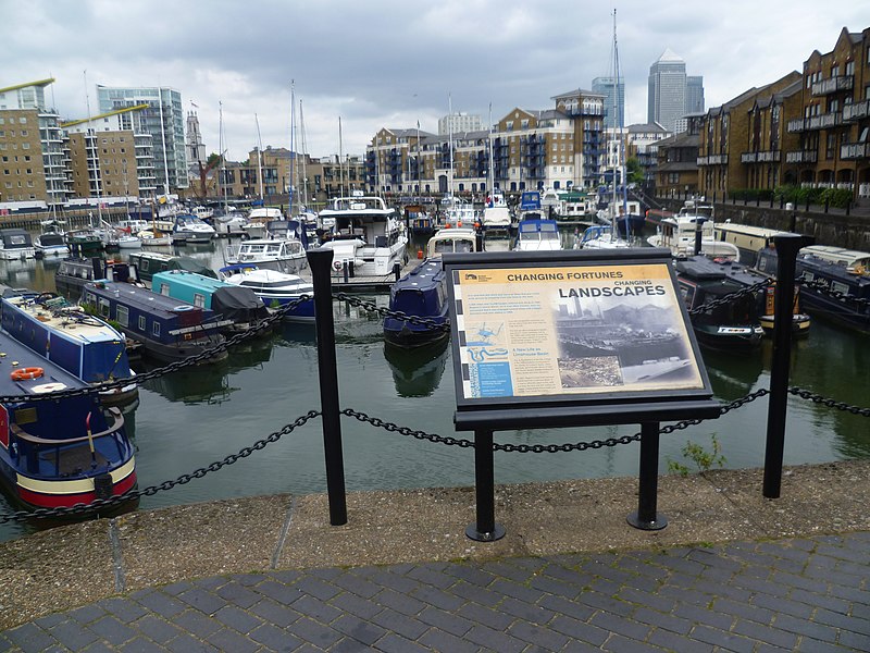
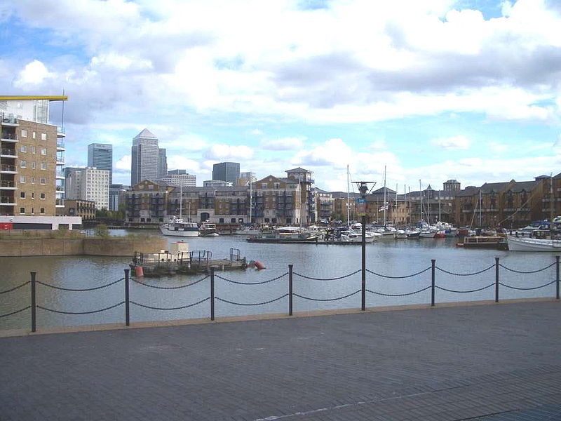
Limehouse Basin, a navigable link between the River Thames and two of London's canals, is a body of water 2 miles east of London Bridge. First dug in 1820 as the eastern terminus of the new Regent's Canal, its wet area was less than 5 acres originally, but it was gradually enlarged in the Victorian era, reaching a maximum of double that size, when it was given its characteristic oblique entrance lock, big enough to admit 2,000-ton ships. Throughout its working life the basin was better known as the Regent's Canal Dock, and was used to transship goods between the old Port of London and the English canal system. Cargoes handled were chiefly coal and timber, but also ice, circus animals, and even Russian oil and WW1 submarines. Sailing ships delivered cargoes there until WW2, and can be seen in surviving films and paintings. ()
Limehouse Basin – popular in the area (distance from the attraction)
Nearby attractions include: The Grapes, King Edward Memorial Park, Museum of London Docklands, 20 Bank Street.
Frequently Asked Questions (FAQ)
Which popular attractions are close to Limehouse Basin?
How to get to Limehouse Basin by public transport?
Light rail
- Limehouse Platform 3 • Lines: B-L, B-Wa, Tg-B (4 min walk)
- Westferry Platform 1 • Lines: B-L, B-Wa, Tg-B (12 min walk)
Train
- Limehouse (5 min walk)
- Shadwell (23 min walk)
Bus
- East India Dock Road • Lines: 277, D6, N277 (10 min walk)
- Limehouse Police Station • Lines: 277, N277 (10 min walk)
Ferry
- Doubletree Docklands Nelson Dock • Lines: Rb4 (13 min walk)
- Canary Wharf • Lines: Rb1, Rb1X, Rb4, Rb6 (14 min walk)
Metro
- Stepney Green • Lines: District, Hammersmith & City (22 min walk)
- Canary Wharf • Lines: Jubilee (24 min walk)



 Tube
Tube


