Red House Farm, Newcastle upon Tyne
Map
Facts and practical information
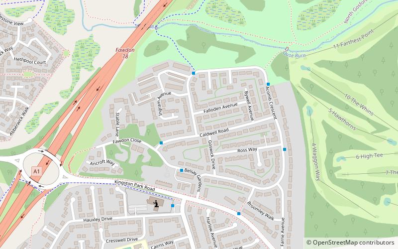
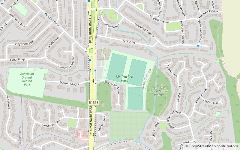
Red House Farm is a residential area of Newcastle upon Tyne, about 4 miles north west of the city centre. It is bordered by Fawdon to the south and North Gosforth to the north. It is a small residential area of primarily semi-detached houses and flats. It is also home to some small independent retailers and The Northumbrian Piper restaurant and pub. The Red House Farm area is served by a number of local bus routes. ()
Coordinates: 55°1'16"N, 1°38'42"W
Address
FawdonNewcastle upon Tyne
ContactAdd
Social media
Add
Getting there by public transportation
Public transportation stops near this location
- Bus
- Light rail
 Bus
Bus
- Calculate routeFawdon 14 min walk
- Calculate routeWansbeck Road 16 min walk
- Calculate routeKingston Park 25 min walk
- Calculate routeRegent Centre 29 min walk
- Calculate routeWindsor Way-Fawdon Walk-N/B 14 min walk
- Calculate routeBrunton Road-Esher Court-Sw/B 24 min walk
Day trips


Frequently Asked Questions (FAQ)
Which popular attractions are close to Red House Farm?
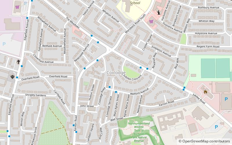
Nearby attractions include Newcastle Great Park, Ponteland (20 min walk), Coxlodge, Newcastle upon Tyne (21 min walk).
How to get to Red House Farm by public transport?
The nearest stations to Red House Farm:
Light rail
Bus
Light rail
- Fawdon • Lines: Green (14 min walk)
- Wansbeck Road • Lines: Green (16 min walk)
Bus
- Windsor Way-Fawdon Walk-N/B • Lines: X47 (14 min walk)
- Brunton Road-Esher Court-Sw/B • Lines: X47 (24 min walk)