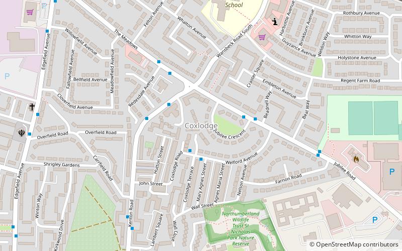
Coxlodge, Newcastle upon Tyne
Map
Facts and practical information
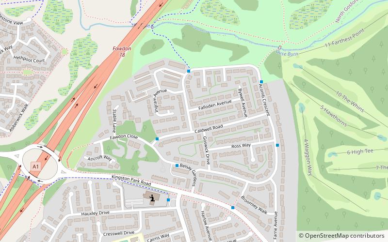
Coxlodge is an area situated between Fawdon, Gosforth and Kenton in Newcastle upon Tyne, England. ()
Coordinates: 55°0'37"N, 1°38'17"W
Address
FawdonNewcastle upon Tyne
ContactAdd
Social media
Add
Getting there by public transportation
Public transportation stops near this location
- Bus
- Light rail
 Bus
Bus
- Calculate routeWansbeck Road 8 min walk
- Calculate routeFawdon 9 min walk
- Calculate routeRegent Centre 17 min walk
- Calculate routeKingston Park 30 min walk
- Calculate routeRegent Centre Metro Stand A 17 min walk
- Calculate routeLansdowne Terrace 19 min walk
- Calculate routeHollywood Avenue-Asda-W/B 19 min walk
Day trips


Frequently Asked Questions (FAQ)
Which popular attractions are close to Coxlodge?
Nearby attractions include Jubilee Theatre, Newcastle upon Tyne (9 min walk), Newcastle Reform Synagogue, Newcastle upon Tyne (15 min walk), Red House Farm, Newcastle upon Tyne (21 min walk), Gosforth Central Park, Newcastle upon Tyne (22 min walk).
How to get to Coxlodge by public transport?
The nearest stations to Coxlodge:
Light rail
Bus
Light rail
- Wansbeck Road • Lines: Green (8 min walk)
- Fawdon • Lines: Green (9 min walk)
Bus
- Regent Centre Metro Stand A • Lines: 33 (17 min walk)
- Lansdowne Terrace • Lines: 33 (19 min walk)