St Mary & All Saints, Walsall
Map
Facts and practical information
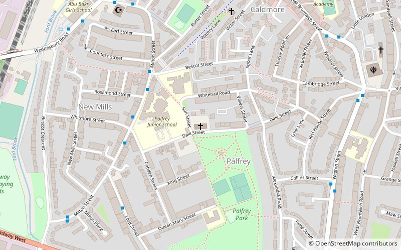
St. Mary & All Saints’ Church in Dale Street, Palfrey was built in 1901 to 1902 designed by J. E. K. and J. P. Cutts of London. It replaced a former mission church built of corrugated iron in 1893 which became too small for the parishioners. The church is of red brick and consists of a chancel, a nave, a north chapel, a south chapel, an organ, and sacristy. The east window was added in 1926 as a war memorial. Due to falling attendances the Church closed for worship in 1999 and ceased as a Parish in 2002. It is now the Orthodox Church of the Nativity of the Mother of God. ()
Coordinates: 52°34'22"N, 1°59'10"W
Address
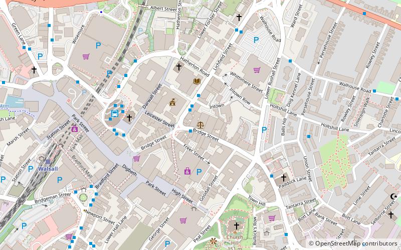
Walsall (Palfrey)Walsall
ContactAdd
Social media
Add
Getting there by public transportation
Public transportation stops near this location
- Bus
- Train
 Bus
Bus
- Calculate routeWednesbury Rd / Bescot Crescent 8 min walk
- Calculate routeWednesbury Rd / Walsall Almshouses 11 min walk
- Calculate routeBescot Stadium 18 min walk
- Calculate routeWalsall 21 min walk
Day trips


Frequently Asked Questions (FAQ)
Which popular attractions are close to St Mary & All Saints?
Nearby attractions include Caldmore, Walsall (8 min walk), Banks's Stadium, Walsall (14 min walk), St Matthew's Centre, Walsall (19 min walk), St Gabriel's Church, Walsall (19 min walk).
How to get to St Mary & All Saints by public transport?
The nearest stations to St Mary & All Saints:
Bus
Train
Bus
- Wednesbury Rd / Bescot Crescent • Lines: 334, 34 (8 min walk)
- Wednesbury Rd / Walsall Almshouses • Lines: 334, 34, 700 (11 min walk)
Train
- Bescot Stadium (18 min walk)
- Walsall (21 min walk)