Lampton, Hounslow
Map
Facts and practical information
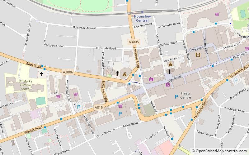
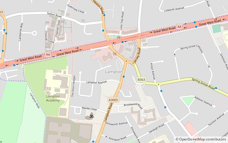
Lampton is a small area of Hounslow located on the Great West Road in the London Borough of Hounslow, between Hounslow town centre and Heston. Its name derives from the Old English for 'lamb farm.' ()
Coordinates: 51°28'39"N, 0°21'51"W
Address
Hounslow (Heston East)Hounslow
ContactAdd
Social media
Add
Day trips
Lampton – popular in the area (distance from the attraction)
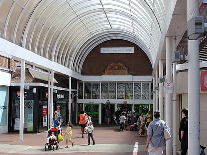
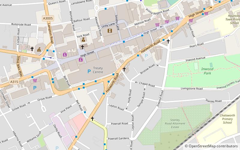
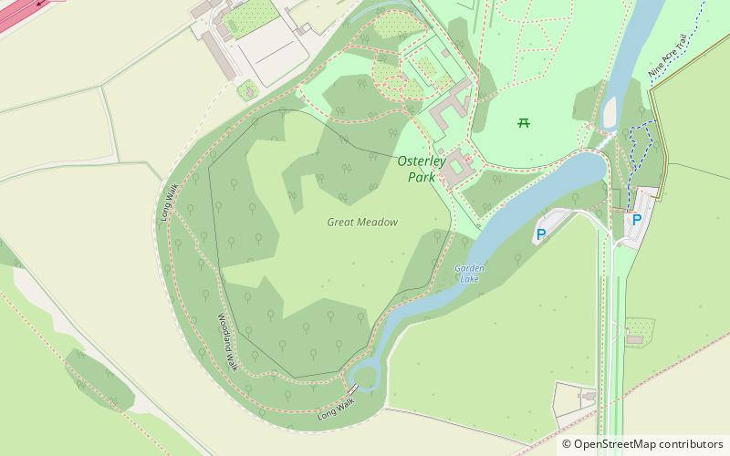
Nearby attractions include: Osterley Park, Treaty Centre, Bell Square, Hounslow Civic Centre.
Frequently Asked Questions (FAQ)
Which popular attractions are close to Lampton?
Nearby attractions include Hounslow Civic Centre, London (7 min walk), Hounslow House, Hounslow (17 min walk), Bell Square, Hounslow (18 min walk), London Borough of Hounslow, Hounslow (19 min walk).

