Toryglen, Glasgow
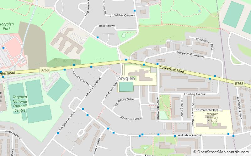
Map
Gallery
Facts and practical information
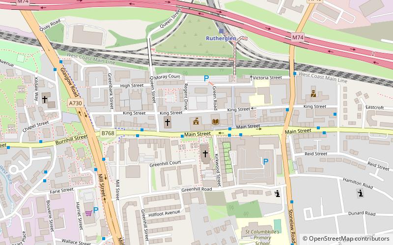
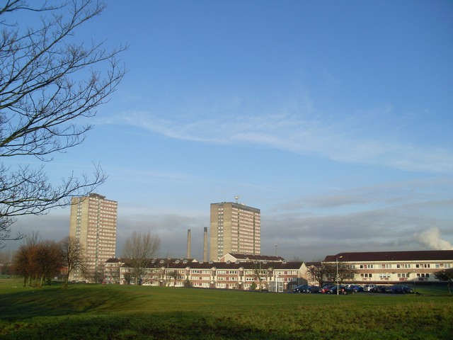
Toryglen is a district in southern Glasgow, Scotland, falling within the Langside ward under Glasgow City Council. It is approximately two miles south of the city centre, bounded to the west by Mount Florida, the north-west by Polmadie, to the north-east by the West Coast Main Line railway and the M74 motorway the south by King's Park, and immediately to the east by the town of Rutherglen. ()
Coordinates: 55°49'43"N, 4°14'12"W
Address
South Side (Toryglen)Glasgow
ContactAdd
Social media
Add
Day trips
Toryglen – popular in the area (distance from the attraction)
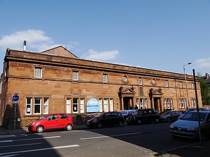
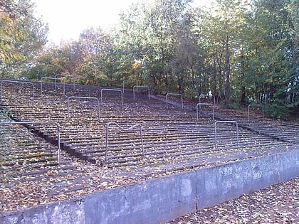
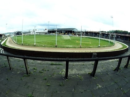
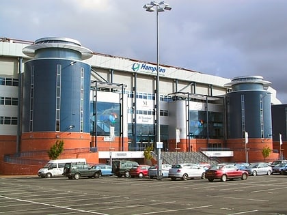
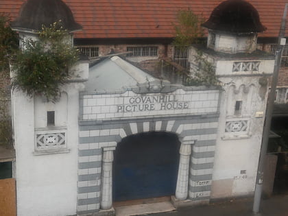
Nearby attractions include: Hampden Park, Govanhill Baths, Cathkin Park, Shawfield Stadium.
Frequently Asked Questions (FAQ)
Which popular attractions are close to Toryglen?
Nearby attractions include Polmadie, Glasgow (15 min walk), Shawfield, Glasgow (16 min walk), Hampden Park, Glasgow (16 min walk), Scottish Football Museum, Glasgow (17 min walk).
How to get to Toryglen by public transport?
The nearest stations to Toryglen:
Train
Bus
Train
- Kings Park (19 min walk)
- Croftfoot (20 min walk)
Bus
- Castlemilk Road / Croftpark Avenue • Lines: M2 (24 min walk)
- Castle Street • Lines: 14 (24 min walk)


