Rutherglen Town Hall, Glasgow
Map
Facts and practical information
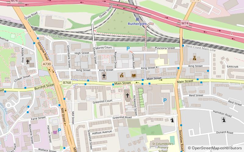
Rutherglen Castle was located where Castle Street meets King Street in Rutherglen, Scotland. It was a large and important castle, having been built in the 13th century; the walls were reportedly 5 feet thick. ()
Address
139 Main StGlasgow
ContactAdd
Social media
Add
Getting there by public transportation
Public transportation stops near this location
- Bus
- Train
 Bus
Bus
- Calculate routeCastle Street 2 min walk
- Calculate routeRutherglen Cross 4 min walk
- Calculate routeStonelaw Road 7 min walk
- Calculate routeRutherglen 5 min walk
- Calculate routeCroftfoot 23 min walk
- Calculate routeBurnside 24 min walk
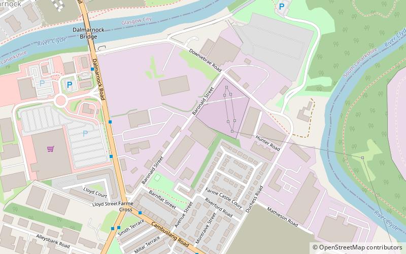
- Calculate routeDalmarnock 25 min walk
Day trips


Frequently Asked Questions (FAQ)
Which popular attractions are close to Rutherglen Town Hall?
Nearby attractions include Rutherglen, Glasgow (2 min walk), Shawfield, Glasgow (13 min walk), Farme Castle, Glasgow (15 min walk), Toryglen, Glasgow (23 min walk).
How to get to Rutherglen Town Hall by public transport?
The nearest stations to Rutherglen Town Hall:
Bus
Train
Bus
- Castle Street • Lines: 14 (2 min walk)
- Rutherglen Cross • Lines: 14 (4 min walk)
Train
- Rutherglen (5 min walk)
- Croftfoot (23 min walk)