DIY Space for London, London

Map
Facts and practical information
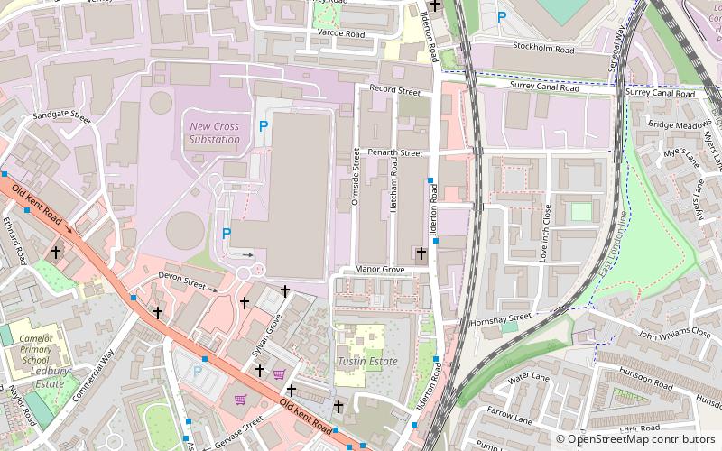
DIY Space for London was a volunteer-run social centre, music venue, rehearsal space, and creative hub formerly located at 96-108 Ormside Street in South Bermondsey, London. ()
Coordinates: 51°28'57"N, 0°3'20"W
Address
Southwark (Livesey)London
ContactAdd
Social media
Add
Day trips
DIY Space for London – popular in the area (distance from the attraction)
Nearby attractions include: The Den, The Blue, King's Stairs Gardens, Mandela Way T-34 Tank.
Frequently Asked Questions (FAQ)
Which popular attractions are close to DIY Space for London?
Nearby attractions include Livesey Museum for Children, London (8 min walk), Folkestone Gardens, London (17 min walk), Paterson Park, London (19 min walk), Deptford Park, London (19 min walk).
How to get to DIY Space for London by public transport?
The nearest stations to DIY Space for London:
Bus
Train
Metro
Ferry
Bus
- Penarth Street • Lines: P12 (3 min walk)
- Manor Grove • Lines: P12 (3 min walk)
Train
- South Bermondsey (10 min walk)
- Queens Road Peckham (16 min walk)
Metro
- Canada Water • Lines: Jubilee (29 min walk)
- Bermondsey • Lines: Jubilee (29 min walk)
Ferry
- Greenland Pier • Lines: Rb1 (34 min walk)
 Tube
Tube


