Rotherhithe, London
Map
Gallery
Facts and practical information
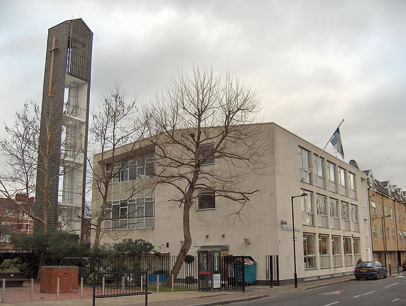
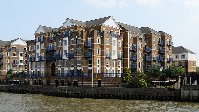
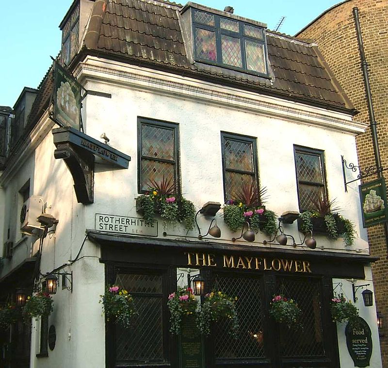
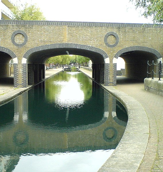
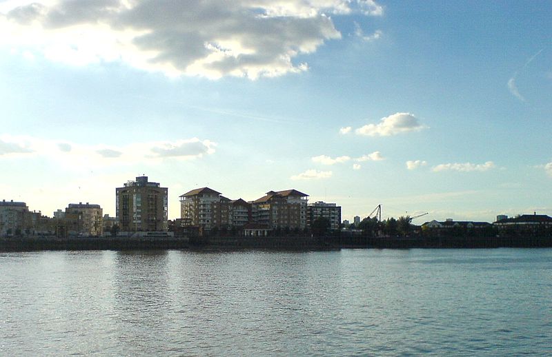
Rotherhithe is a residential district in south-east London, England, and part of the London Borough of Southwark. Historically the area was the most northeastern settlement in the county of Surrey. It is located on a peninsula on the south bank of the Thames, facing Wapping, Shadwell and Limehouse on the north bank, as well as the Isle of Dogs to the east of the Thames and is a part of the Docklands area. It borders Bermondsey to the west and Deptford to the south east. ()
Address
Southwark (Rotherhithe)London
ContactAdd
Social media
Add
Day trips
Rotherhithe – popular in the area (distance from the attraction)
Nearby attractions include: Limehouse Basin, Tobacco Dock, The Grapes, King Edward Memorial Park.
Frequently Asked Questions (FAQ)
Which popular attractions are close to Rotherhithe?
Nearby attractions include Stave Hill, London (4 min walk), Brunel Museum, London (11 min walk), Surrey Docks Farm, London (12 min walk), St. Mary's Church, London (12 min walk).
How to get to Rotherhithe by public transport?
The nearest stations to Rotherhithe:
Metro
Bus
Train
Ferry
Light rail
Metro
- Canada Water • Lines: Jubilee (8 min walk)
- Bermondsey • Lines: Jubilee (24 min walk)
Bus
- Canada Water Bus Station (9 min walk)
- Byng Street • Lines: 277, N277 (20 min walk)
Train
- Rotherhithe (10 min walk)
- Surrey Quays (13 min walk)
Ferry
- Doubletree Docklands Nelson Dock • Lines: Rb4 (16 min walk)
- Greenland Pier • Lines: Rb1 (17 min walk)
Light rail
- Limehouse Platform 4 • Lines: B-L, B-Wa, Tg-B (22 min walk)
- Shadwell Platform 2 • Lines: B-L, B-Wa, Tg-B (25 min walk)



 Tube
Tube


