Abingdon Rowing Club, Abingdon
Map
Facts and practical information
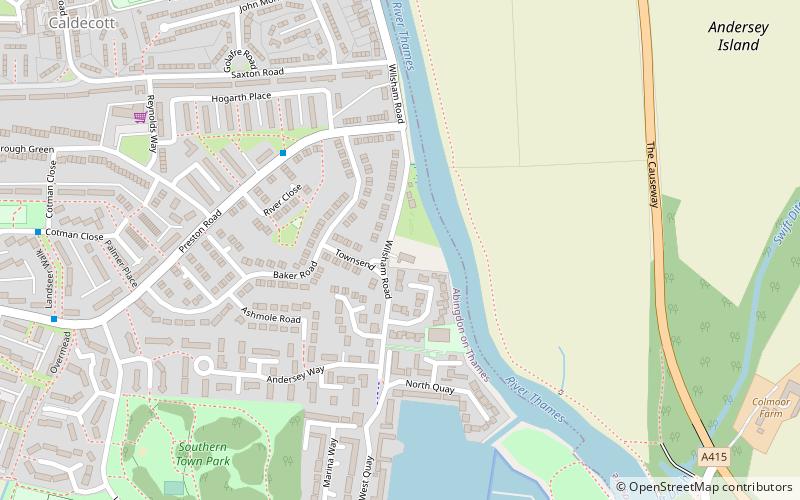
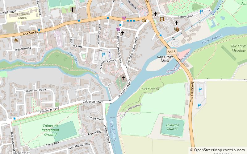
Abingdon Rowing Club is a rowing club on the River Thames based on Wilsham Road in Abingdon-on-Thames, Oxfordshire. ()
Coordinates: 51°39'41"N, 1°16'60"W
Address
Abingdon
ContactAdd
Social media
Add
Getting there by public transportation
Public transportation stops near this location
- Bus
 Bus
Bus
- Calculate routeStratton Way 18 min walk
Day trips


Frequently Asked Questions (FAQ)
Which popular attractions are close to Abingdon Rowing Club?
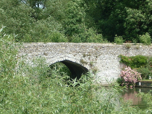
Nearby attractions include Culham Bridge, Abingdon (9 min walk), Helenstowe Nunnery, Abingdon (12 min walk), St Helen's Church, Abingdon (12 min walk), Nag's Head Island, Abingdon (13 min walk).
How to get to Abingdon Rowing Club by public transport?
The nearest stations to Abingdon Rowing Club:
Bus
Bus
- Stratton Way • Lines: 33 (18 min walk)